

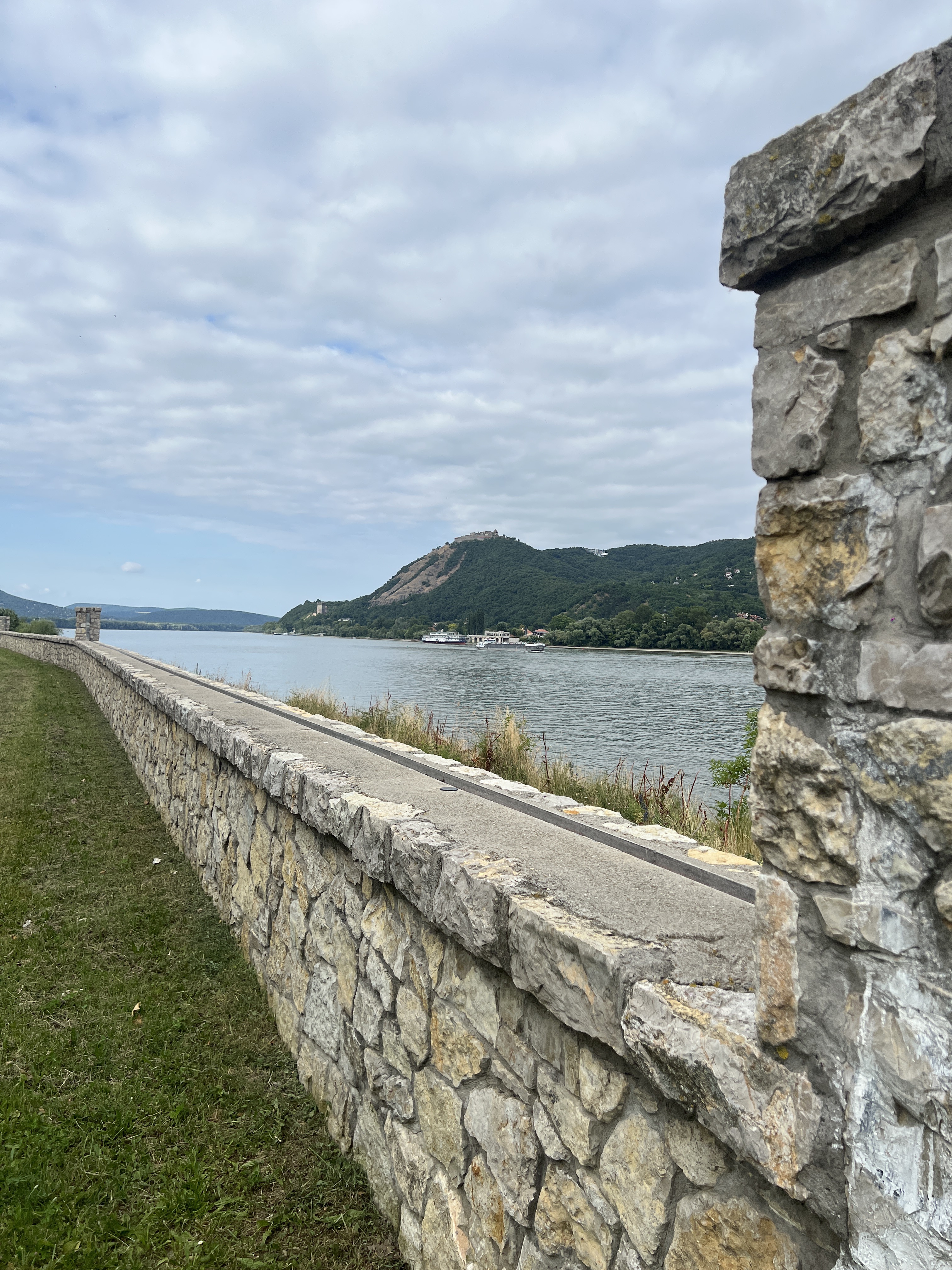
Track with pics
A cycling route starting in Óbuda-Békásmegyer, Budapest, Hungary.
Overview
About this route
test test test
- -:--
- Duration
- 18.6 km
- Distance
- 72 m
- Ascent
- 83 m
- Descent
- ---
- Avg. speed
- ---
- Max. altitude
Route quality
Waytypes & surfaces along the route
Waytypes
Cycleway
6.9 km
(37 %)
Quiet road
4.5 km
(24 %)
Surfaces
Paved
14.5 km
(78 %)
Asphalt
14.5 km
(78 %)
Undefined
4.1 km
(22 %)
Route highlights
Points of interest along the route
Point of interest after 3.3 km
POI-Beschreibung

Point of interest after 10.7 km
POI-Beschreibung

Point of interest after 12.6 km
check point

Point of interest after 18.5 km
Margithíd
Continue with Bikemap
Use, edit, or download this cycling route
You would like to ride Track with pics or customize it for your own trip? Here is what you can do with this Bikemap route:
Free features
- Save this route as favorite or in collections
- Copy & plan your own version of this route
- Sync your route with Garmin or Wahoo
Premium features
Free trial for 3 days, or one-time payment. More about Bikemap Premium.
- Navigate this route on iOS & Android
- Export a GPX / KML file of this route
- Create your custom printout (try it for free)
- Download this route for offline navigation
Discover more Premium features.
Get Bikemap PremiumFrom our community
Other popular routes starting in Óbuda-Békásmegyer
 Mura utca, Budapest to Táncsics Mihály utca, Esztergom
- Distance
- 81.3 km
- Ascent
- 332 m
- Descent
- 335 m
- Location
- Óbuda-Békásmegyer, Budapest, Hungary
 Pilis Classic edzőkör
- Distance
- 96.4 km
- Ascent
- 940 m
- Descent
- 942 m
- Location
- Óbuda-Békásmegyer, Budapest, Hungary
 Coffee Ride - Paprét + Szentkereszt
- Distance
- 73.1 km
- Ascent
- 730 m
- Descent
- 728 m
- Location
- Óbuda-Békásmegyer, Budapest, Hungary
 Aquincum-Vác-Tahitótfalu-Aquincum
- Distance
- 61.3 km
- Ascent
- 355 m
- Descent
- 352 m
- Location
- Óbuda-Békásmegyer, Budapest, Hungary
 Budai hegyek tekergés
- Distance
- 50.6 km
- Ascent
- 862 m
- Descent
- 861 m
- Location
- Óbuda-Békásmegyer, Budapest, Hungary
 CR | Pilis összes csúcsa
- Distance
- 142.8 km
- Ascent
- 1,753 m
- Descent
- 1,752 m
- Location
- Óbuda-Békásmegyer, Budapest, Hungary
 CR - Skanzen kör
- Distance
- 44.8 km
- Ascent
- 169 m
- Descent
- 166 m
- Location
- Óbuda-Békásmegyer, Budapest, Hungary
 Alternatív rövid könnyű útvonal
- Distance
- 34.1 km
- Ascent
- 211 m
- Descent
- 207 m
- Location
- Óbuda-Békásmegyer, Budapest, Hungary
Open it in the app