Giorno 1 Cesana Torinese - Galibier
- 116.2 km
- 2,829 m
- 2,837 m
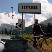
- Cesana Torinese, Piedmont, Italy
A cycling route starting in Cesana Torinese, Piedmont, Italy.
Overview
created this 8 years ago
Route quality
Quiet road
18.8 km
(14 %)
Road
8 km
(6 %)
Paved
95.2 km
(71 %)
Asphalt
95.2 km
(71 %)
Undefined
38.9 km
(29 %)
Route highlights
SOSTA 1
SOSTA 2
Continue with Bikemap
You would like to ride S_T3_ANT or customize it for your own trip? Here is what you can do with this Bikemap route:
Free trial for 3 days, or one-time payment. More about Bikemap Premium.
Discover more Premium features.
Get Bikemap PremiumFrom our community
Open it in the app