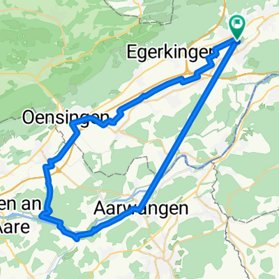
Kappel, H.buchsee Madiswil, kl.Gotthard 70 km
- 70.2 km
- 626 m
- 624 m
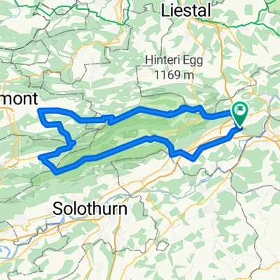
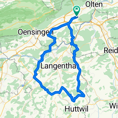
- Hägendorf, Canton of Solothurn, Switzerland
A cycling route starting in Hägendorf, Canton of Solothurn, Switzerland.
Overview
created this 8 years ago
Route quality
Road
41.9 km
(46 %)
Quiet road
28.2 km
(31 %)
Paved
53.7 km
(59 %)
Asphalt
53.7 km
(59 %)
Undefined
37.3 km
(41 %)
Continue with Bikemap
You would like to ride Hägendorf Staffelegg Scherz Hägendorf or customize it for your own trip? Here is what you can do with this Bikemap route:
Free trial for 3 days, or one-time payment. More about Bikemap Premium.
Discover more Premium features.
Get Bikemap PremiumFrom our community
Open it in the app