

Routes from Easingwold
Thirsk circular
A cycling route starting in Easingwold, England, United Kingdom.
Overview
About this route
A circular route from Easingwold via several North Yorkshire villages, to the market town of Thirsk, which has several very good cafes.
Back through the flatlands with a gentle climb at the end after crossing the A19 and then through Carlton Husthwaite and Husthwaite to Easingwold.
- -:--
- Duration
- 52.1 km
- Distance
- 352 m
- Ascent
- 355 m
- Descent
- ---
- Avg. speed
- ---
- Max. altitude
Part of
Routes from Easingwold
2 stages
Route quality
Waytypes & surfaces along the route
Waytypes
Road
41.8 km
(80 %)
Cycleway
4.8 km
(9 %)
Surfaces
Paved
14.5 km
(28 %)
Asphalt
9.9 km
(19 %)
Paved (undefined)
4.6 km
(9 %)
Undefined
37.6 km
(72 %)
Continue with Bikemap
Use, edit, or download this cycling route
You would like to ride Thirsk circular or customize it for your own trip? Here is what you can do with this Bikemap route:
Free features
- Save this route as favorite or in collections
- Copy & plan your own version of this route
- Sync your route with Garmin or Wahoo
Premium features
Free trial for 3 days, or one-time payment. More about Bikemap Premium.
- Navigate this route on iOS & Android
- Export a GPX / KML file of this route
- Create your custom printout (try it for free)
- Download this route for offline navigation
Discover more Premium features.
Get Bikemap PremiumFrom our community
Other popular routes starting in Easingwold
 Easy-Breeze Tour t'Dales
- Distance
- 177.2 km
- Ascent
- 986 m
- Descent
- 987 m
- Location
- Easingwold, England, United Kingdom
 Nunnington on little roads
- Distance
- 49.2 km
- Ascent
- 398 m
- Descent
- 398 m
- Location
- Easingwold, England, United Kingdom
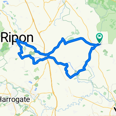 Ripon and back
- Distance
- 68.3 km
- Ascent
- 98 m
- Descent
- 98 m
- Location
- Easingwold, England, United Kingdom
 Nunnington, Slingsby and Terrington
- Distance
- 64 km
- Ascent
- 413 m
- Descent
- 413 m
- Location
- Easingwold, England, United Kingdom
 The Harp’s Bike Ride
- Distance
- 22.3 km
- Ascent
- 137 m
- Descent
- 125 m
- Location
- Easingwold, England, United Kingdom
 Crayke via the little lanes
- Distance
- 16 km
- Ascent
- 122 m
- Descent
- 122 m
- Location
- Easingwold, England, United Kingdom
 Coxwold via Husthwaite there and back
- Distance
- 21.7 km
- Ascent
- 177 m
- Descent
- 178 m
- Location
- Easingwold, England, United Kingdom
 Long ride through York
- Distance
- 48.2 km
- Ascent
- 238 m
- Descent
- 241 m
- Location
- Easingwold, England, United Kingdom
Open it in the app