

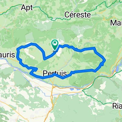
Provance 5. nap
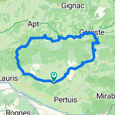
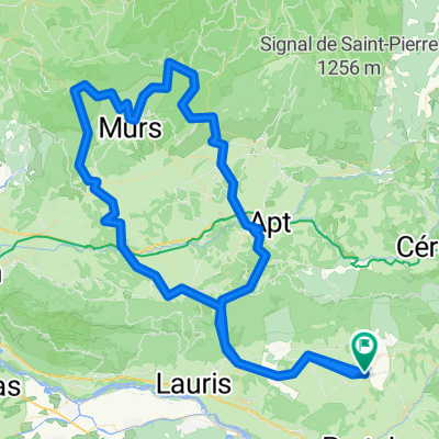
A cycling route starting in Ansouis, Provence-Alpes-Côte d'Azur Region, France.
Overview
About this route
Over mountain and back
- -:--
- Duration
- 73.5 km
- Distance
- 896 m
- Ascent
- 896 m
- Descent
- ---
- Avg. speed
- ---
- Max. altitude
Route quality
Waytypes & surfaces along the route
Waytypes
Road
38.2 km
(52 %)
Quiet road
11.8 km
(16 %)
Surfaces
Paved
33.8 km
(46 %)
Unpaved
2.2 km
(3 %)
Asphalt
33.1 km
(45 %)
Gravel
1.5 km
(2 %)
Continue with Bikemap
Use, edit, or download this cycling route
You would like to ride Provance 5. nap or customize it for your own trip? Here is what you can do with this Bikemap route:
Free features
- Save this route as favorite or in collections
- Copy & plan your own version of this route
- Sync your route with Garmin or Wahoo
Premium features
Free trial for 3 days, or one-time payment. More about Bikemap Premium.
- Navigate this route on iOS & Android
- Export a GPX / KML file of this route
- Create your custom printout (try it for free)
- Download this route for offline navigation
Discover more Premium features.
Get Bikemap PremiumFrom our community
Other popular routes starting in Ansouis
 La tour d'aigues - Aix en prov.
- Distance
- 55.4 km
- Ascent
- 408 m
- Descent
- 636 m
- Location
- Ansouis, Provence-Alpes-Côte d'Azur Region, France
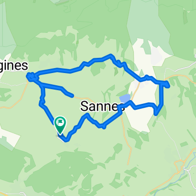 Lange Radrunde durch Ansouis
- Distance
- 33.3 km
- Ascent
- 219 m
- Descent
- 217 m
- Location
- Ansouis, Provence-Alpes-Côte d'Azur Region, France
 L etang to beaux de prov
- Distance
- 84.1 km
- Ascent
- 457 m
- Descent
- 743 m
- Location
- Ansouis, Provence-Alpes-Côte d'Azur Region, France
 Provance 4. nap
- Distance
- 79.4 km
- Ascent
- 749 m
- Descent
- 749 m
- Location
- Ansouis, Provence-Alpes-Côte d'Azur Region, France
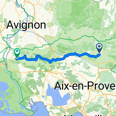
 Vaug Vaug Lub horaire 70
- Distance
- 73 km
- Ascent
- 855 m
- Descent
- 851 m
- Location
- Ansouis, Provence-Alpes-Côte d'Azur Region, France
 Col de la Ligne
- Distance
- 132.7 km
- Ascent
- 1,670 m
- Descent
- 1,673 m
- Location
- Ansouis, Provence-Alpes-Côte d'Azur Region, France
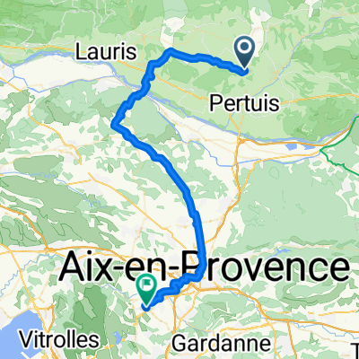
 De Chemin d'Ansouis aux Gavèdes, Ansouis à 39 Chemin des Moulins, Pertuis
- Distance
- 8.1 km
- Ascent
- 52 m
- Descent
- 223 m
- Location
- Ansouis, Provence-Alpes-Côte d'Azur Region, France
 Lange Radrunde nach Bennieux
- Distance
- 42.8 km
- Ascent
- 361 m
- Descent
- 363 m
- Location
- Ansouis, Provence-Alpes-Côte d'Azur Region, France
Open it in the app