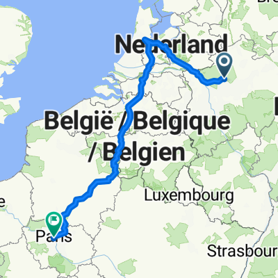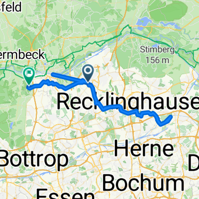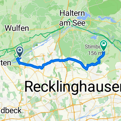
Meisenstraße 4, Marl nach Meisenstraße 2, Marl
- 12.8 km
- 62 m
- 59 m
- Marl, North Rhine-Westphalia, Germany
A cycling route starting in Marl, North Rhine-Westphalia, Germany.
Overview
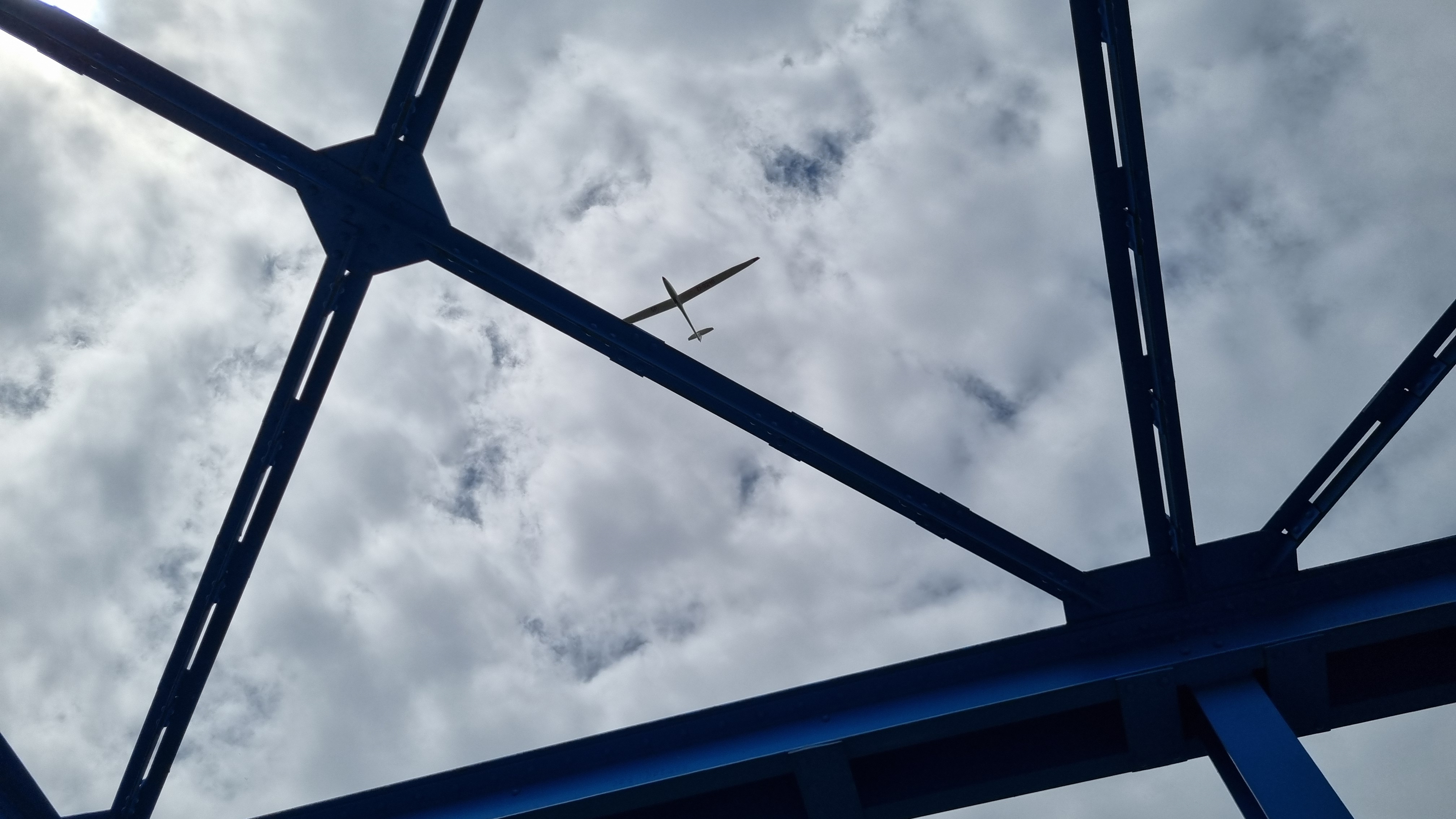
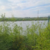
To 'warm up', you can first ride around the reservoir and Sythen, or take this section easy to roll out. Have fun!
According to the cycling route planner, it's 625 meters of elevation gain!
created this 15 years ago
Route quality
Path
24.8 km
(31 %)
Road
10.4 km
(13 %)
Paved
55.1 km
(69 %)
Unpaved
4.8 km
(6 %)
Asphalt
50.3 km
(63 %)
Paved (undefined)
4.8 km
(6 %)
Continue with Bikemap
You would like to ride Hohe Mark - Alle Steigungen or customize it for your own trip? Here is what you can do with this Bikemap route:
Free trial for 3 days, or one-time payment. More about Bikemap Premium.
Discover more Premium features.
Get Bikemap PremiumFrom our community
Garmin
Marl Hüls - Zeche Fürst Leopold - Hervester BruchOpen it in the app