2009 Eat a Peach 40m
- 62 km
- 450 m
- 463 m
- Westminster, Maryland, United States
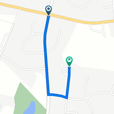
However you decide to do this loop, we think you will enjoy it! It takes you down around some small rivers and creeks and forested areas in the ‘Black Ankle’ section of this loop and then heads into more open areas with big open fields where you can catch a wind on your back to enjoy the views of the foothills of the Blue Ridge in the distant west. Woodsboro could be a lunch stop. There is a nice park just out of town on the 550 (south east). You can also extend your loop by heading north-west to a covered bridge and park area, another possibility of the lunch spot.
CumKm
Delta
Turn
Road
0
0
Right
Start at Best Western Parking lot (south into WMC Rd becomes Main)
0.10
0.10
Q-Right
New Windsor Rd
0.59
0.49
Q-Right
Uniontown Rd
6.08
5.49
Left
Springdale Rd (becomes Main St in New Windsor Mills)
12.86
6.78
Left
Old New Windsor Rd
17.00
4.14
Right
Hwy 31 (Also might be called New Windsor Rd)
17.24
0.24
Left
Sams Creek Rd
20.00
2.76
Right
Buffalo Road
25.26
5.26
Straight
Cross Hwy 26 onto Buffalo Road
29.52
4.26
Right
Harrisville Rd
30.68
1.16
V-Right
Talbot Run Rd
33.69
3.01
Right
Black Ankle Rd (BUT not a hard right, go onto paved road)
35.00
1.31
Left
Unionville Rd
37.50
2.50
Right
Clemsonville Road
38.00
0.50
Straight
Cross Hwy 26
40.25
2.25
Straight
Cross Hwy 31
43.45
3.20
Right
Fountain School Rd (map shows Clemsonville becomes Fountain School)
47.00
3.55
Right
Coppermine Rd
56.31
9.31
Straight
Cross 194 (Woodsboro Pike)
56.41
0.10
Right
Main St (could also be Old Woodsboro Pike)
56.71
0.30
Left
Woodsboro Creagerstown Rd (55)
66.42
9.71
Right
Jimtown Rd
68.44
2.02
Right
Rocky Ridge Rd
80.13
11.70
Straight
Detour Rd (Rocky Ridge Rd becomes Middleburg Rd as this point)
94.29
14.20
Straight
Uniontown Rd (Middleburg Rd becomes Uniontown Rd after Hwy 84)
104.14
9.85
Left
New Windsor Rd
113.99
0.50
Q-Left
Wmc Drive
Road
44.4 km42 %Quiet road
8.4 km8 %Paved
48.6 km(46 %)Asphalt
48.6 km46 %Undefined
57 km54 %Free trial for 3 days, or one-time payment. More about Bikemap Premium.
Discover more Premium features.
Get Bikemap PremiumOpen it in the app