

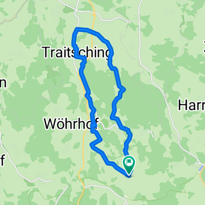
Tragenschwand - Siedling -Sattelpeilnstein - Tragenschwand
A cycling route starting in Loitzendorf, Bavaria, Germany.
Overview
About this route
- -:--
- Duration
- 15.6 km
- Distance
- 228 m
- Ascent
- 228 m
- Descent
- ---
- Avg. speed
- ---
- Max. altitude

Continue with Bikemap
Use, edit, or download this cycling route
You would like to ride Tragenschwand - Siedling -Sattelpeilnstein - Tragenschwand or customize it for your own trip? Here is what you can do with this Bikemap route:
Free features
- Save this route as favorite or in collections
- Copy & plan your own version of this route
- Sync your route with Garmin or Wahoo
Premium features
Free trial for 3 days, or one-time payment. More about Bikemap Premium.
- Navigate this route on iOS & Android
- Export a GPX / KML file of this route
- Create your custom printout (try it for free)
- Download this route for offline navigation
Discover more Premium features.
Get Bikemap PremiumFrom our community
Other popular routes starting in Loitzendorf
 runde Tal
- Distance
- 1.2 km
- Ascent
- 32 m
- Descent
- 34 m
- Location
- Loitzendorf, Bavaria, Germany
 Tragenschwand - Siedling -Sattelpeilnstein - Tragenschwand
- Distance
- 15.6 km
- Ascent
- 228 m
- Descent
- 228 m
- Location
- Loitzendorf, Bavaria, Germany
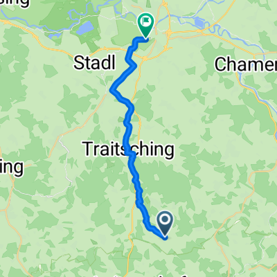 Tragenschwand - Cham
- Distance
- 15.3 km
- Ascent
- 109 m
- Descent
- 212 m
- Location
- Loitzendorf, Bavaria, Germany
 Haunsbacher Straße 1, Wiesenfelden nach Hagnhöfen, Wiesenfelden
- Distance
- 5.2 km
- Ascent
- 43 m
- Descent
- 81 m
- Location
- Loitzendorf, Bavaria, Germany
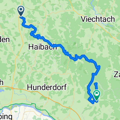
 Im Wiesental 3, Traitsching to Neupfarrplatz, Regensburg
- Distance
- 51.5 km
- Ascent
- 467 m
- Descent
- 614 m
- Location
- Loitzendorf, Bavaria, Germany
 hallo
hallo- Distance
- 23.4 km
- Ascent
- 281 m
- Descent
- 308 m
- Location
- Loitzendorf, Bavaria, Germany
 Loitzendorf - Bernried / Bayer. Wald
- Distance
- 58.6 km
- Ascent
- 2,202 m
- Descent
- 2,256 m
- Location
- Loitzendorf, Bavaria, Germany
 Baumgärten 18, Wiesenfelden nach Haunsbacher Straße 1, Wiesenfelden
- Distance
- 24.7 km
- Ascent
- 419 m
- Descent
- 398 m
- Location
- Loitzendorf, Bavaria, Germany
Open it in the app