- 105.6 km
- 1,051 m
- 1,074 m
- Westminster, Maryland, United States
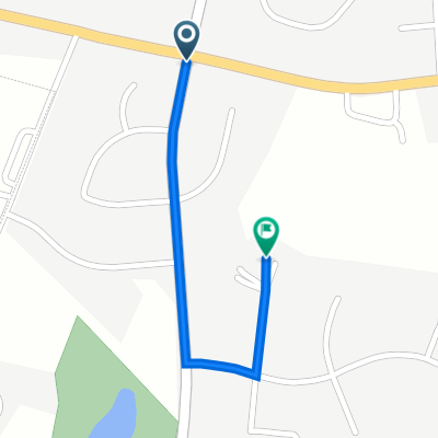
Dash to Gettysburg
A cycling route starting in Westminster, Maryland, United States.
Overview
About this route
<span style="font-family: Times New Roman; color: #000000; font-size: small;">This is a good route for people who might like a refresher on the Civil war.<span style="mso-spacerun: yes;"> </span>You get a great ride in what we think will be quite roads with a nice place to picnic and lunch in the battle fields surrounded by hundreds of statues and monuments. It can be quite idyllic on a sunny day until you consider the carnage which took place there in July of 1863.<span style="mso-spacerun: yes;"> </span>Might want to read the book Killer Angles, by Michael Shaara a Pulitzer Prize winner for a very good description of the battle.</span>
- -:--
- Duration
- 96.5 km
- Distance
- 676 m
- Ascent
- 702 m
- Descent
- ---
- Avg. speed
- 226 m
- Max. altitude
created this 15 years ago
Route quality
Waytypes & surfaces along the route
Waytypes
Road
37.6 km
(39 %)
Quiet road
23.2 km
(24 %)
Surfaces
Paved
48.2 km
(50 %)
Asphalt
48.2 km
(50 %)
Undefined
48.2 km
(50 %)
Continue with Bikemap
Use, edit, or download this cycling route
You would like to ride Dash to Gettysburg or customize it for your own trip? Here is what you can do with this Bikemap route:
Free features
- Save this route as favorite or in collections
- Copy & plan your own version of this route
- Split it into stages to create a multi-day tour
- Sync your route with Garmin or Wahoo
Premium features
Free trial for 3 days, or one-time payment. More about Bikemap Premium.
- Navigate this route on iOS & Android
- Export a GPX / KML file of this route
- Create your custom printout (try it for free)
- Download this route for offline navigation
Discover more Premium features.
Get Bikemap PremiumFrom our community
Other popular routes starting in Westminster
- Woodsboro Black Ankle Loop
- 404 Lucabaugh Mill Rd, Westminster to 118 S Market St, Frederick
- 55.5 km
- 640 m
- 753 m
- Westminster, Maryland, United States
- Wakefield
- 0.7 km
- 8 m
- 18 m
- Westminster, Maryland, United States
- EataPeach33
- 54.4 km
- 477 m
- 482 m
- Westminster, Maryland, United States
- tanneytown
- 22.9 km
- 223 m
- 224 m
- Westminster, Maryland, United States
- Tour De Finksburg
- 9.1 km
- 171 m
- 193 m
- Westminster, Maryland, United States
- Recovered Route
- 15.9 km
- 197 m
- 223 m
- Westminster, Maryland, United States
- 404 Lucabaugh Mill Rd, Westminster to 124 Market Space Alley, Frederick
- 54.6 km
- 641 m
- 754 m
- Westminster, Maryland, United States
Open it in the app


