

Eisenach und 4 Flüsse
A cycling route starting in Eisenach, Thuringia, Germany.
Overview
About this route
7 days 6 nights
- -:--
- Duration
- 276.4 km
- Distance
- 381 m
- Ascent
- 380 m
- Descent
- ---
- Avg. speed
- ---
- Max. altitude

Route quality
Waytypes & surfaces along the route
Waytypes
Track
94 km
(34 %)
Quiet road
49.7 km
(18 %)
Surfaces
Paved
234.9 km
(85 %)
Unpaved
22.1 km
(8 %)
Asphalt
223.9 km
(81 %)
Gravel
16.6 km
(6 %)
Route highlights
Points of interest along the route
Accommodation after 16.6 km
Accommodation after 76.5 km
Accommodation after 119.7 km
Accommodation after 170.3 km
Point of interest after 213.9 km
Jugendherberge Rotenburg 4 Doppelzimmer

Photo after 215 km
ca . 25 min Bahnfahrt von Rotenburg nach Wildeck mit umsteigen in Bebra

Point of interest after 227.7 km
Abfahrt nach Wildeck 11:11 uhr oder 13.11 Uhr Fahrzeit per Bahn dann 5 min

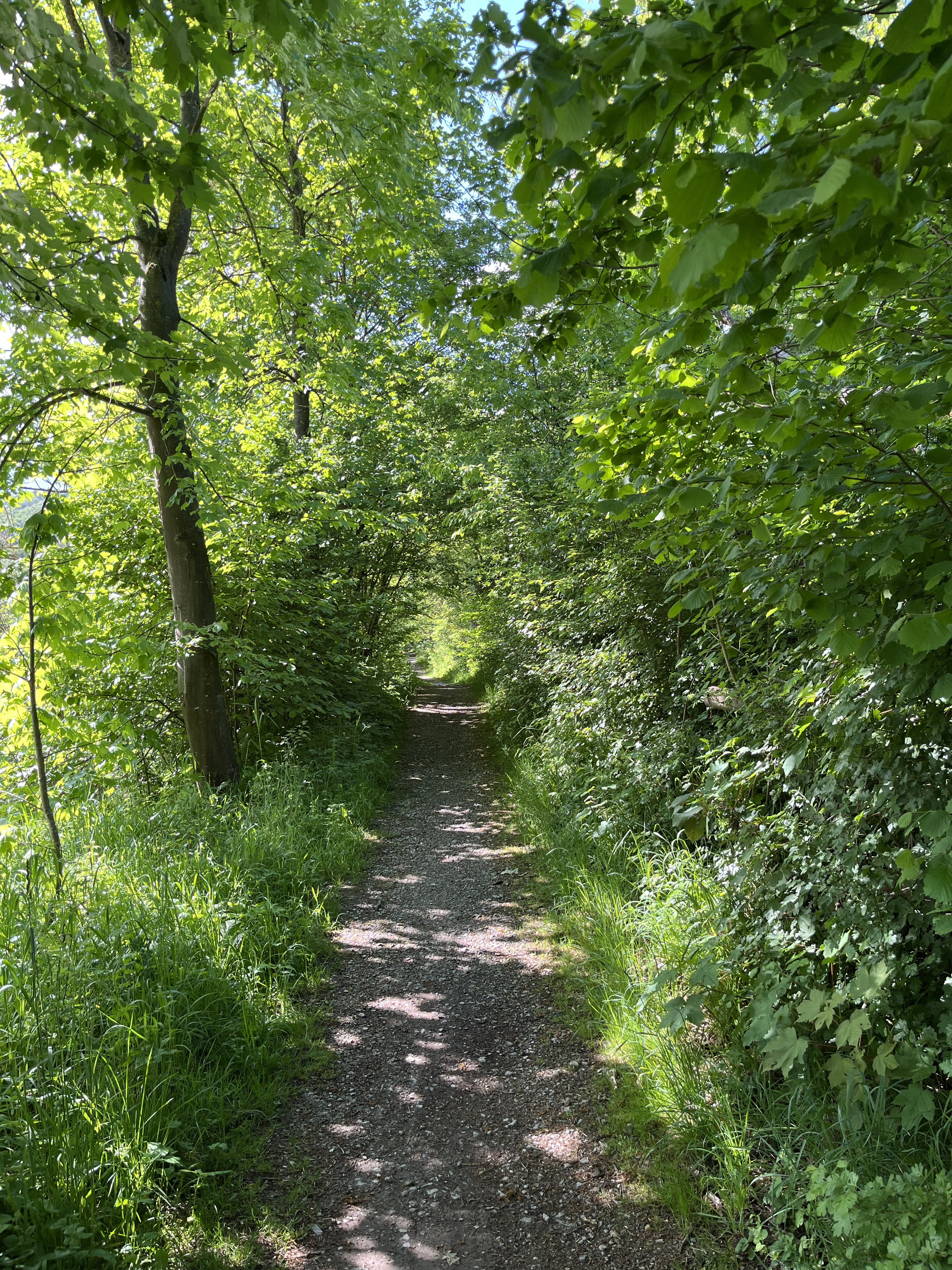
Photo after 243.7 km
Bahnfahrt Rotenburg -Bebra-Wildeck
Accommodation after 276.4 km
Continue with Bikemap
Use, edit, or download this cycling route
You would like to ride Eisenach und 4 Flüsse or customize it for your own trip? Here is what you can do with this Bikemap route:
Free features
- Save this route as favorite or in collections
- Copy & plan your own version of this route
- Split it into stages to create a multi-day tour
- Sync your route with Garmin or Wahoo
Premium features
Free trial for 3 days, or one-time payment. More about Bikemap Premium.
- Navigate this route on iOS & Android
- Export a GPX / KML file of this route
- Create your custom printout (try it for free)
- Download this route for offline navigation
Discover more Premium features.
Get Bikemap PremiumFrom our community
Other popular routes starting in Eisenach
 Eisenach wutha und zurück
- Distance
- 12.7 km
- Ascent
- 705 m
- Descent
- 747 m
- Location
- Eisenach, Thuringia, Germany
 Eisenach -Kerspenhausen
- Distance
- 79.7 km
- Ascent
- 537 m
- Descent
- 549 m
- Location
- Eisenach, Thuringia, Germany
 Trailschaukel Eisenach
- Distance
- 35.8 km
- Ascent
- 923 m
- Descent
- 923 m
- Location
- Eisenach, Thuringia, Germany
 12.07.24 Eisenach-Wilhelmglücksbrunn
- Distance
- 34.3 km
- Ascent
- 245 m
- Descent
- 245 m
- Location
- Eisenach, Thuringia, Germany
 Eisenach-Creuzburg
- Distance
- 43.3 km
- Ascent
- 283 m
- Descent
- 275 m
- Location
- Eisenach, Thuringia, Germany
 Goethestraße, Eisenach nach Planstraße, Amt Creuzburg
- Distance
- 26.1 km
- Ascent
- 394 m
- Descent
- 431 m
- Location
- Eisenach, Thuringia, Germany
 kurze Tour
- Distance
- 17.3 km
- Ascent
- 213 m
- Descent
- 205 m
- Location
- Eisenach, Thuringia, Germany
![14.05.10 Eisenach-Weimar [Bilder]](https://media.bikemap.net/routes/490996/staticmaps/in_edc5d340-c37e-4125-ba2b-a2447fc4ffd7_400x400_bikemap-2021-3D-static.png) 14.05.10 Eisenach-Weimar [Bilder]
14.05.10 Eisenach-Weimar [Bilder]- Distance
- 100.9 km
- Ascent
- 508 m
- Descent
- 505 m
- Location
- Eisenach, Thuringia, Germany
Open it in the app