2007 (Excursión Cuenca)
- 105.9 km
- 914 m
- 914 m
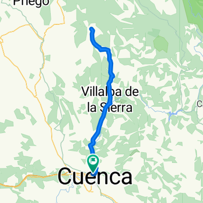
- Cuenca, Castille-La Mancha, Spain
A cycling route starting in Cuenca, Castille-La Mancha, Spain.
Overview
Ruta por algunas de las sendas de el paraje de Casasola.
created this 8 years ago
Route highlights
Comienzo senda de Casasola.
Inicio de la senda que llamamos "San Andrew"
Inicio de la senda que llamamos "La Escondida"
Inicio de la Senda quye llamamos "San McLeod" o la senda de los peraltes
Comienzo de la senda que se hace llamar "San Lesmes", que va a la la ermita de San Julián el Tranquilo
Continue with Bikemap
You would like to ride Casasola + or customize it for your own trip? Here is what you can do with this Bikemap route:
Free trial for 3 days, or one-time payment. More about Bikemap Premium.
Discover more Premium features.
Get Bikemap PremiumFrom our community
Open it in the app