

Wando Island
A cycling route starting in Haenam, Jeollanam-do, South Korea.
Overview
About this route
- -:--
- Duration
- 78.1 km
- Distance
- 622 m
- Ascent
- 621 m
- Descent
- ---
- Avg. speed
- ---
- Max. altitude

Continue with Bikemap
Use, edit, or download this cycling route
You would like to ride Wando Island or customize it for your own trip? Here is what you can do with this Bikemap route:
Free features
- Save this route as favorite or in collections
- Copy & plan your own version of this route
- Sync your route with Garmin or Wahoo
Premium features
Free trial for 3 days, or one-time payment. More about Bikemap Premium.
- Navigate this route on iOS & Android
- Export a GPX / KML file of this route
- Create your custom printout (try it for free)
- Download this route for offline navigation
Discover more Premium features.
Get Bikemap PremiumFrom our community
Other popular routes starting in Haenam
 강진읍 41-10, 강진군 ~ 강진읍 41-10, 강진군
- Distance
- 16.2 km
- Ascent
- 41 m
- Descent
- 68 m
- Location
- Haenam, Jeollanam-do, South Korea
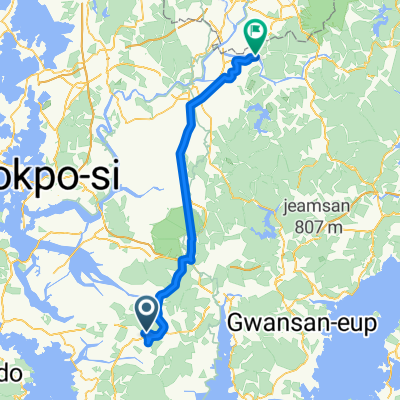
 신전면 산54, 강진군 to 완도읍 179−3, 완도군
- Distance
- 101.3 km
- Ascent
- 2,641 m
- Descent
- 2,745 m
- Location
- Haenam, Jeollanam-do, South Korea
 해남읍 46-12 ~ 남평읍 1-54
- Distance
- 84.1 km
- Ascent
- 517 m
- Descent
- 589 m
- Location
- Haenam, Jeollanam-do, South Korea
 평동리 215-1, to 강진읍,
- Distance
- 11.4 km
- Ascent
- 18 m
- Descent
- 26 m
- Location
- Haenam, Jeollanam-do, South Korea
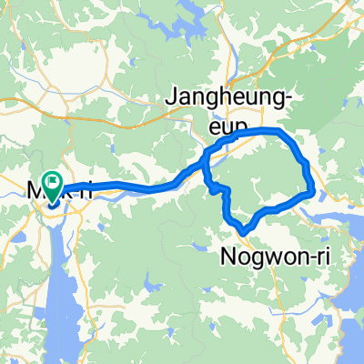 Gangjin_Day4
- Distance
- 49.2 km
- Ascent
- 307 m
- Descent
- 306 m
- Location
- Haenam, Jeollanam-do, South Korea
![24, 목포시Ph0]으로 라우팅](https://media.bikemap.net/routes/13447872/staticmaps/in_42eb1309-0e2d-4050-9fc4-977985f51840_400x400_bikemap-2021-3D-static.png) 24, 목포시Ph0]으로 라우팅
24, 목포시Ph0]으로 라우팅- Distance
- 84 km
- Ascent
- 250 m
- Descent
- 250 m
- Location
- Haenam, Jeollanam-do, South Korea
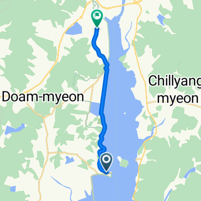
![강진읍Ph0]으로 라우팅](https://media.bikemap.net/routes/17468539/staticmaps/in_d09d0236-65e4-4b95-8005-0005b9051852_400x400_bikemap-2021-3D-static.png) 강진읍Ph0]으로 라우팅
강진읍Ph0]으로 라우팅- Distance
- 6.5 km
- Ascent
- 35 m
- Descent
- 64 m
- Location
- Haenam, Jeollanam-do, South Korea
 기록 1ㅇㅇㅇ
- Distance
- 11.1 km
- Ascent
- 13 m
- Descent
- 40 m
- Location
- Haenam, Jeollanam-do, South Korea
Open it in the app