Rotorua-MtMaunganui
- 66.7 km
- 64 m
- 18 m
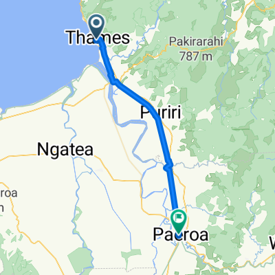
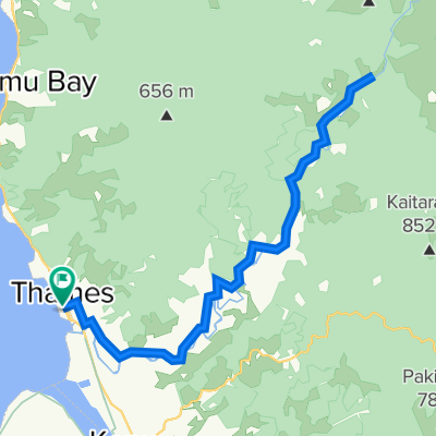
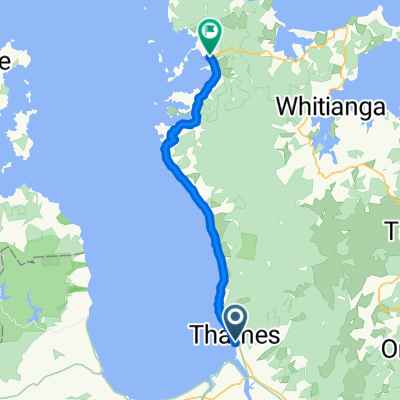
- Thames, Waikato Region, New Zealand
A cycling route starting in Thames, Waikato Region, New Zealand.
Overview
From the sea across a wide plain on a former railway line to Te Aroha. Then the final climb to the lookout mountain Mount Te Aroha (average gradient of 13.8%).
created this 8 years ago
Route quality
Cycleway
47.6 km
(78 %)
Access road
6.7 km
(11 %)
Paved
10.4 km
(17 %)
Unpaved
49.4 km
(81 %)
Gravel
45.2 km
(74 %)
Asphalt
4.9 km
(8 %)
Continue with Bikemap
You would like to ride NZ Vom Firth of Thames zum Aussichtsberg Mount Te Aroha or customize it for your own trip? Here is what you can do with this Bikemap route:
Free trial for 3 days, or one-time payment. More about Bikemap Premium.
Discover more Premium features.
Get Bikemap PremiumFrom our community
Open it in the app