

De Chemin des Viviers à Chemin des Viviers
- 9 km
- 295 m
- 249 m
- Annot, Provence-Alpes-Côte d'Azur Region, France
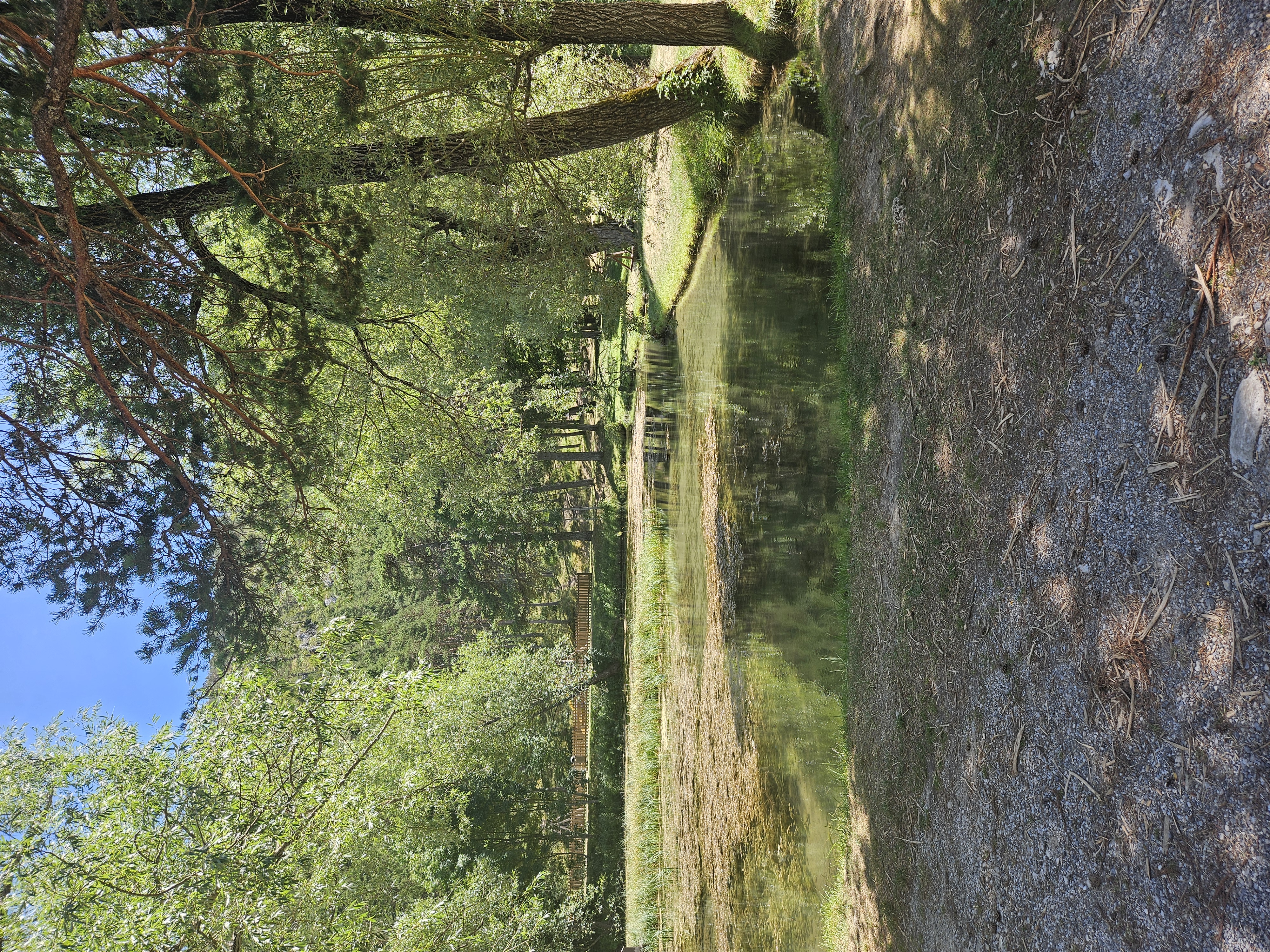
Fifth day of the Transalp 2014 via Les Chemins du Soleil


Free trial for 3 days, or one-time payment. More about Bikemap Premium.
Discover more Premium features.
Get Bikemap PremiumOpen it in the app


