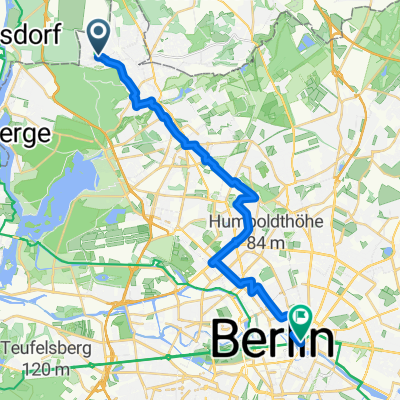
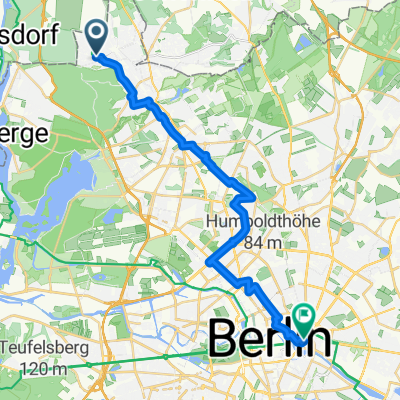
- 22.9 km
- 33 m
- 50 m
- Frohnau, State of Berlin, Germany
Mauerradweg Nord
A cycling route starting in Frohnau, State of Berlin, Germany.
Overview
About this route
In the north and west of Berlin, the Mauerradweg is in a fairly decent condition and also suitable for racing bikes - however, there are places where you should ride slower with the RR.
For the exact route, it's best to choose the Opencyclemap map. At Lake Groß Glienicker, it is advisable to leave the official route as it is paved with cobblestones of the worst kind.
Anyone who despises climbs can also ride along the water between Glienicker Brücke and S Wannsee; the quality of the route is not so great, but you save two climbs, one of which is about 8%, which is quite decent.
Alternative route: from Kladow, take the ferry (BVG fare) to Wannsee.
- -:--
- Duration
- 72.5 km
- Distance
- 143 m
- Ascent
- 153 m
- Descent
- ---
- Avg. speed
- 63 m
- Max. altitude
created this 17 years ago
Route quality
Waytypes & surfaces along the route
Waytypes
Path
29 km
(40 %)
Quiet road
18.8 km
(26 %)
Surfaces
Paved
55.8 km
(77 %)
Unpaved
8 km
(11 %)
Asphalt
54.4 km
(75 %)
Ground
5.8 km
(8 %)
Continue with Bikemap
Use, edit, or download this cycling route
You would like to ride Mauerradweg Nord or customize it for your own trip? Here is what you can do with this Bikemap route:
Free features
- Save this route as favorite or in collections
- Copy & plan your own version of this route
- Sync your route with Garmin or Wahoo
Premium features
Free trial for 3 days, or one-time payment. More about Bikemap Premium.
- Navigate this route on iOS & Android
- Export a GPX / KML file of this route
- Create your custom printout (try it for free)
- Download this route for offline navigation
Discover more Premium features.
Get Bikemap PremiumFrom our community
Other popular routes starting in Frohnau
- Am Grünen Hof, Berlin nach Mühlendamm, Berlin
- Froh, Heilig, Lüba
- 41.2 km
- 181 m
- 182 m
- Frohnau, State of Berlin, Germany
- Frohnau-Rund um den Krämerforst
- 54.1 km
- 103 m
- 106 m
- Frohnau, State of Berlin, Germany
- Mauerradweg Nord
- 72.5 km
- 143 m
- 153 m
- Frohnau, State of Berlin, Germany
- Zwergenweg 3 / Waldfriedenstr.3b
- 3.9 km
- 14 m
- 28 m
- Frohnau, State of Berlin, Germany
- 70 km nordwestlich über die Dörfer
- 72.1 km
- 109 m
- 107 m
- Frohnau, State of Berlin, Germany
- perm Nordschleife
- 68 km
- 194 m
- 202 m
- Frohnau, State of Berlin, Germany
- via Stegeweg
- 22.7 km
- 66 m
- 77 m
- Frohnau, State of Berlin, Germany
Open it in the app


