2003-Pfingsten
A cycling route starting in Baienfurt, Baden-Württemberg, Germany.
Overview
About this route
2003 Pfingsten
Unterankenreute - Freiburg
Familie (5)
- -:--
- Duration
- 354.5 km
- Distance
- 2,788 m
- Ascent
- 3,066 m
- Descent
- ---
- Avg. speed
- 673 m
- Max. altitude
Route quality
Waytypes & surfaces along the route
Waytypes
Quiet road
105.4 km
(30 %)
Road
66.4 km
(19 %)
Surfaces
Paved
293.8 km
(83 %)
Unpaved
25.9 km
(7 %)
Asphalt
282.8 km
(80 %)
Gravel
15.5 km
(4 %)
Continue with Bikemap
Use, edit, or download this cycling route
You would like to ride 2003-Pfingsten or customize it for your own trip? Here is what you can do with this Bikemap route:
Free features
- Save this route as favorite or in collections
- Copy & plan your own version of this route
- Split it into stages to create a multi-day tour
- Sync your route with Garmin or Wahoo
Premium features
Free trial for 3 days, or one-time payment. More about Bikemap Premium.
- Navigate this route on iOS & Android
- Export a GPX / KML file of this route
- Create your custom printout (try it for free)
- Download this route for offline navigation
Discover more Premium features.
Get Bikemap PremiumFrom our community
Other popular routes starting in Baienfurt
- 2013-07-26 bis 2013-08-02 Gotthard-Tour
- Distance
- 486.6 km
- Ascent
- 2,703 m
- Descent
- 3,165 m
- Location
- Baienfurt, Baden-Württemberg, Germany
- Lindele Rösslerweiher
- Distance
- 4.3 km
- Ascent
- 90 m
- Descent
- 90 m
- Location
- Baienfurt, Baden-Württemberg, Germany
- Waldsee - Mattenhaus
- Distance
- 70.9 km
- Ascent
- 438 m
- Descent
- 346 m
- Location
- Baienfurt, Baden-Württemberg, Germany
- ebenweiler
- Distance
- 19.7 km
- Ascent
- 240 m
- Descent
- 111 m
- Location
- Baienfurt, Baden-Württemberg, Germany
- 2003-Pfingsten
- Distance
- 354.5 km
- Ascent
- 2,788 m
- Descent
- 3,066 m
- Location
- Baienfurt, Baden-Württemberg, Germany
- Radrunde von Baienfurt nach Ravensburg
- Distance
- 14.5 km
- Ascent
- 207 m
- Descent
- 334 m
- Location
- Baienfurt, Baden-Württemberg, Germany
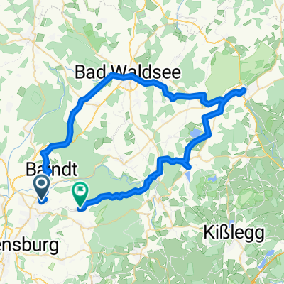
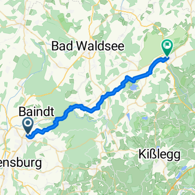
- Lazarettstraße 48, Weingarten nach Lazarettstraße 48, Weingarten
- Distance
- 45.8 km
- Ascent
- 362 m
- Descent
- 362 m
- Location
- Baienfurt, Baden-Württemberg, Germany
- Berg - Staig - Blitzenreute - Bad Waldsee - Bergatreute - Baienfurt - Baindt
- Distance
- 65.6 km
- Ascent
- 351 m
- Descent
- 353 m
- Location
- Baienfurt, Baden-Württemberg, Germany
Open it in the app