Mont Ste Odile - moderate/hard
A cycling route starting in Ban-de-Laveline, Grand Est, France.
Overview
About this route
50 kms drive to start; wooded and hilly ride, with climb to Mont Ste Odile, poss lunch stop, then 700 metre climb to high point, Col de Champ du Feu; recommended
- -:--
- Duration
- 93.8 km
- Distance
- 1,823 m
- Ascent
- 1,823 m
- Descent
- ---
- Avg. speed
- ---
- Max. altitude
Continue with Bikemap
Use, edit, or download this cycling route
You would like to ride Mont Ste Odile - moderate/hard or customize it for your own trip? Here is what you can do with this Bikemap route:
Free features
- Save this route as favorite or in collections
- Copy & plan your own version of this route
- Split it into stages to create a multi-day tour
- Sync your route with Garmin or Wahoo
Premium features
Free trial for 3 days, or one-time payment. More about Bikemap Premium.
- Navigate this route on iOS & Android
- Export a GPX / KML file of this route
- Create your custom printout (try it for free)
- Download this route for offline navigation
Discover more Premium features.
Get Bikemap PremiumFrom our community
Other popular routes starting in Ban-de-Laveline
- bcgfre
- Distance
- 122.9 km
- Ascent
- 2,152 m
- Descent
- 2,152 m
- Location
- Ban-de-Laveline, Grand Est, France
- B7_St-Die-des-Vosges - Munster
- Distance
- 81.3 km
- Ascent
- 1,757 m
- Descent
- 1,769 m
- Location
- Ban-de-Laveline, Grand Est, France
- 88 Grande Rue, Provenchères-et-Colroy à Ban-de-Sapt
- Distance
- 7.6 km
- Ascent
- 975 m
- Descent
- 569 m
- Location
- Ban-de-Laveline, Grand Est, France
- Herfstrondje Vogezen
- Distance
- 488.3 km
- Ascent
- 3,306 m
- Descent
- 3,302 m
- Location
- Ban-de-Laveline, Grand Est, France
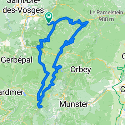
- provencheres-lacblanc-valtin
- Distance
- 103.6 km
- Ascent
- 1,208 m
- Descent
- 1,208 m
- Location
- Ban-de-Laveline, Grand Est, France
- Ban de Laveline Circle CLONED FROM ROUTE 709653
- Distance
- 45.5 km
- Ascent
- 1,013 m
- Descent
- 1,012 m
- Location
- Ban-de-Laveline, Grand Est, France
- 5ème étape Fouchal - Vauthiermont
- Distance
- 112.2 km
- Ascent
- 1,558 m
- Descent
- 1,736 m
- Location
- Ban-de-Laveline, Grand Est, France
- fgtr
- Distance
- 128.4 km
- Ascent
- 2,333 m
- Descent
- 2,333 m
- Location
- Ban-de-Laveline, Grand Est, France
Open it in the app