
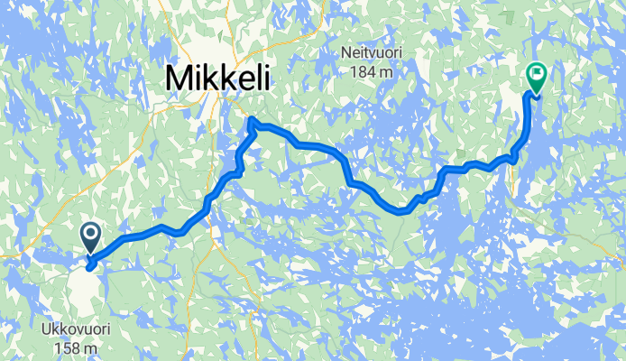
Mäntyharju - Ryhälä
A cycling route starting in Mäntyharju, South Savo, Finland.
Overview
About this route
SOVA-tour 2010, day 4
Start: Mäntyharju
Finish: Vapaa-ajankeskus Mannilanniemi, Ryhälä
Note! Short (7.5 km) unpaved section after Ristiina.
- -:--
- Duration
- 115.9 km
- Distance
- 642 m
- Ascent
- 643 m
- Descent
- ---
- Avg. speed
- 164 m
- Max. altitude

Route quality
Waytypes & surfaces along the route
Waytypes
Road
16.2 km
(14 %)
Quiet road
9.3 km
(8 %)
Surfaces
Paved
97.3 km
(84 %)
Unpaved
15.1 km
(13 %)
Asphalt
88.1 km
(76 %)
Unpaved (undefined)
12.7 km
(11 %)
Continue with Bikemap
Use, edit, or download this cycling route
You would like to ride Mäntyharju - Ryhälä or customize it for your own trip? Here is what you can do with this Bikemap route:
Free features
- Save this route as favorite or in collections
- Copy & plan your own version of this route
- Split it into stages to create a multi-day tour
- Sync your route with Garmin or Wahoo
Premium features
Free trial for 3 days, or one-time payment. More about Bikemap Premium.
- Navigate this route on iOS & Android
- Export a GPX / KML file of this route
- Create your custom printout (try it for free)
- Download this route for offline navigation
Discover more Premium features.
Get Bikemap PremiumFrom our community
Other popular routes starting in Mäntyharju
 Tour de Mäntyharju
- Distance
- 137.3 km
- Ascent
- 327 m
- Descent
- 327 m
- Location
- Mäntyharju, South Savo, Finland
 Mäntyharju - Ryhälä CLONED FROM ROUTE 392761
- Distance
- 116 km
- Ascent
- 320 m
- Descent
- 340 m
- Location
- Mäntyharju, South Savo, Finland
 Recovered Route
- Distance
- 49 km
- Ascent
- 825 m
- Descent
- 815 m
- Location
- Mäntyharju, South Savo, Finland
 Mäntyharju - Lahti 25.7
- Distance
- 106.1 km
- Ascent
- 340 m
- Descent
- 324 m
- Location
- Mäntyharju, South Savo, Finland
 Mäntyharju-Sysmä
- Distance
- 137.8 km
- Ascent
- 390 m
- Descent
- 396 m
- Location
- Mäntyharju, South Savo, Finland
 Kouvola-Mökki Voikosken kautta
- Distance
- 83.1 km
- Ascent
- 210 m
- Descent
- 249 m
- Location
- Mäntyharju, South Savo, Finland
 Repovesi
- Distance
- 34.3 km
- Ascent
- 0 m
- Descent
- 0 m
- Location
- Mäntyharju, South Savo, Finland
 Kompantie 15, Mäntyharju до Kuopiontie 68, Norola
- Distance
- 66.3 km
- Ascent
- 314 m
- Descent
- 298 m
- Location
- Mäntyharju, South Savo, Finland
Open it in the app