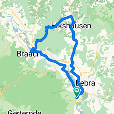
1. Etappe Breitenbach-Lippstadt
A cycling route starting in Breitenbach, Hesse, Germany.
Overview
About this route
Initially flat and winding on the R1 to Obermelsungen. Then there is a small climb to the A7 (max 10%), which we cross and descend to Felsberg. Between Felsberg and Fritzlar, it rolls along secondary roads following the Eder river. In Fritzlar, it continues on the B 450 to Wolfhagen. Then it continues on the L3075 to Volkmarsen. From there it continues on a secondary road to Diemelstadt. We take the bypass on the B252 and, before passing under the motorway, turn left onto the L 3081 to Wrexen. Here we turn left onto the B7, which mostly leads flat to Marsberg. Now follows a climb with 180 meters of elevation gain. We follow the mostly descending road to Bad Wünneberg. We ride a short stretch of federal road and turn left into the Aftetal valley to Büren. Here follows the last climb of the day at about 300 m above sea level. We cross the A 44 and after a few kilometers arrive at Geseke. Here we follow the L 875 to Störmede and continue to Ehringshausen. A few kilometers still separate us from the day's destination, the guesthouse Rixbecker Alpen, located on the road leading to Lippstadt.
- -:--
- Duration
- 171.6 km
- Distance
- 1,418 m
- Ascent
- 1,353 m
- Descent
- ---
- Avg. speed
- 357 m
- Max. altitude
Route quality
Waytypes & surfaces along the route
Waytypes
Track
27.5 km
(16 %)
Road
20.6 km
(12 %)
Surfaces
Paved
128.7 km
(75 %)
Unpaved
13.7 km
(8 %)
Asphalt
125.3 km
(73 %)
Gravel
6.9 km
(4 %)
Continue with Bikemap
Use, edit, or download this cycling route
You would like to ride 1. Etappe Breitenbach-Lippstadt or customize it for your own trip? Here is what you can do with this Bikemap route:
Free features
- Save this route as favorite or in collections
- Copy & plan your own version of this route
- Split it into stages to create a multi-day tour
- Sync your route with Garmin or Wahoo
Premium features
Free trial for 3 days, or one-time payment. More about Bikemap Premium.
- Navigate this route on iOS & Android
- Export a GPX / KML file of this route
- Create your custom printout (try it for free)
- Download this route for offline navigation
Discover more Premium features.
Get Bikemap PremiumFrom our community
Other popular routes starting in Breitenbach
 Durch Waldhessen II
- Distance
- 66.1 km
- Ascent
- 852 m
- Descent
- 852 m
- Location
- Breitenbach, Hesse, Germany
 1. Etappe Breitenbach -Oberhof
- Distance
- 114.1 km
- Ascent
- 1,469 m
- Descent
- 1,027 m
- Location
- Breitenbach, Hesse, Germany
 Hessentour 1990
- Distance
- 799.1 km
- Ascent
- 2,820 m
- Descent
- 2,818 m
- Location
- Breitenbach, Hesse, Germany
 Über den Alheimer
- Distance
- 33.1 km
- Ascent
- 484 m
- Descent
- 485 m
- Location
- Breitenbach, Hesse, Germany
 6 Buchen
- Distance
- 28.6 km
- Ascent
- 451 m
- Descent
- 448 m
- Location
- Breitenbach, Hesse, Germany
 R1 Breitenbach - Graue Katze
- Distance
- 79.5 km
- Ascent
- 444 m
- Descent
- 499 m
- Location
- Breitenbach, Hesse, Germany
 breitenbach-kleinensee-mecklar
- Distance
- 61.2 km
- Ascent
- 567 m
- Descent
- 565 m
- Location
- Breitenbach, Hesse, Germany
 über die Hohe Buche (Waldhessen)
- Distance
- 32.4 km
- Ascent
- 334 m
- Descent
- 334 m
- Location
- Breitenbach, Hesse, Germany
Open it in the app


