

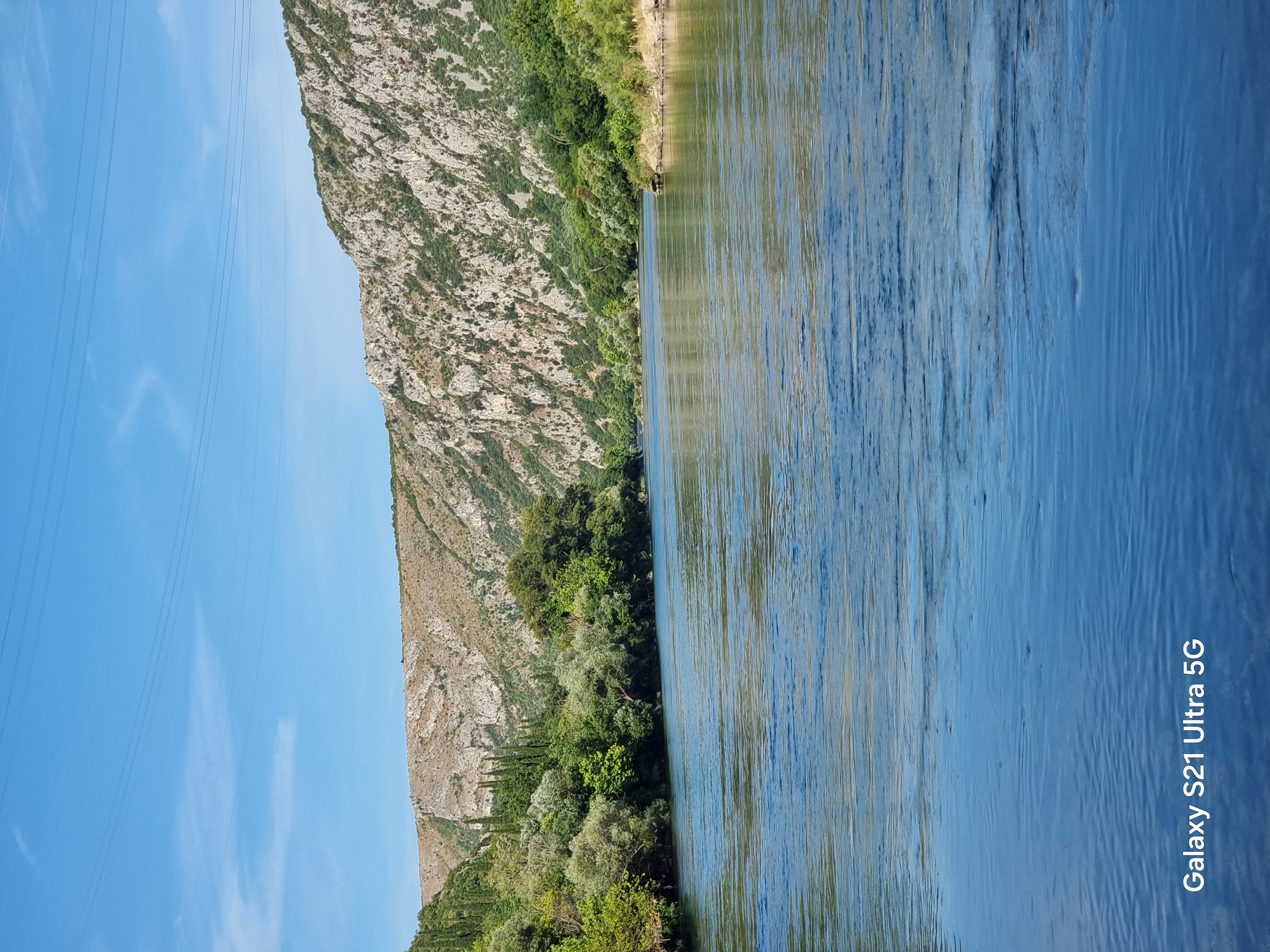
Gnojnice - Nevesinje
A cycling route starting in Rodoč, Federation of Bosnia and Herzegovina, Bosnia and Herzegovina.
Overview
About this route
28 km of climbing and 1100 m of elevation. Total 40 km.
- -:--
- Duration
- 40.8 km
- Distance
- 1,088 m
- Ascent
- 272 m
- Descent
- ---
- Avg. speed
- ---
- Max. altitude
Route quality
Waytypes & surfaces along the route
Waytypes
Quiet road
3.7 km
(9 %)
Access road
0.4 km
(1 %)
Undefined
36.7 km
(90 %)
Surfaces
Paved
37.1 km
(91 %)
Unpaved
1.6 km
(4 %)
Asphalt
37.1 km
(91 %)
Unpaved (undefined)
0.8 km
(2 %)
Continue with Bikemap
Use, edit, or download this cycling route
You would like to ride Gnojnice - Nevesinje or customize it for your own trip? Here is what you can do with this Bikemap route:
Free features
- Save this route as favorite or in collections
- Copy & plan your own version of this route
- Sync your route with Garmin or Wahoo
Premium features
Free trial for 3 days, or one-time payment. More about Bikemap Premium.
- Navigate this route on iOS & Android
- Export a GPX / KML file of this route
- Create your custom printout (try it for free)
- Download this route for offline navigation
Discover more Premium features.
Get Bikemap PremiumFrom our community
Other popular routes starting in Rodoč
 Proba1
- Distance
- 249.6 km
- Ascent
- 2,072 m
- Descent
- 2,023 m
- Location
- Rodoč, Federation of Bosnia and Herzegovina, Bosnia and Herzegovina
 Gnojnice - Nevesinje
- Distance
- 40.8 km
- Ascent
- 1,088 m
- Descent
- 272 m
- Location
- Rodoč, Federation of Bosnia and Herzegovina, Bosnia and Herzegovina
 Mostar-Nevesinje-Gacko-Krivača-Stolac-Mostar
- Distance
- 196.7 km
- Ascent
- 1,714 m
- Descent
- 1,718 m
- Location
- Rodoč, Federation of Bosnia and Herzegovina, Bosnia and Herzegovina
 Ćiro trail Mostar - Dubrovnik
- Distance
- 142.6 km
- Ascent
- 896 m
- Descent
- 955 m
- Location
- Rodoč, Federation of Bosnia and Herzegovina, Bosnia and Herzegovina
 mostar
- Distance
- 42.7 km
- Ascent
- 973 m
- Descent
- 975 m
- Location
- Rodoč, Federation of Bosnia and Herzegovina, Bosnia and Herzegovina
 Rodoc-citluk-zitomislici-bacevici-rodoc
- Distance
- 45.7 km
- Ascent
- 482 m
- Descent
- 482 m
- Location
- Rodoč, Federation of Bosnia and Herzegovina, Bosnia and Herzegovina
 Mostar - Ravno
- Distance
- 85.6 km
- Ascent
- 451 m
- Descent
- 176 m
- Location
- Rodoč, Federation of Bosnia and Herzegovina, Bosnia and Herzegovina
 Bunski kanali-Ćirina pruga
- Distance
- 38.6 km
- Ascent
- 101 m
- Descent
- 153 m
- Location
- Rodoč, Federation of Bosnia and Herzegovina, Bosnia and Herzegovina
Open it in the app