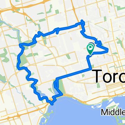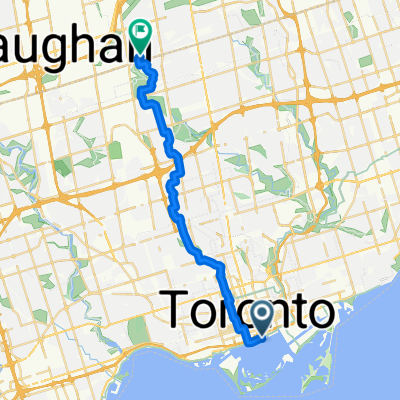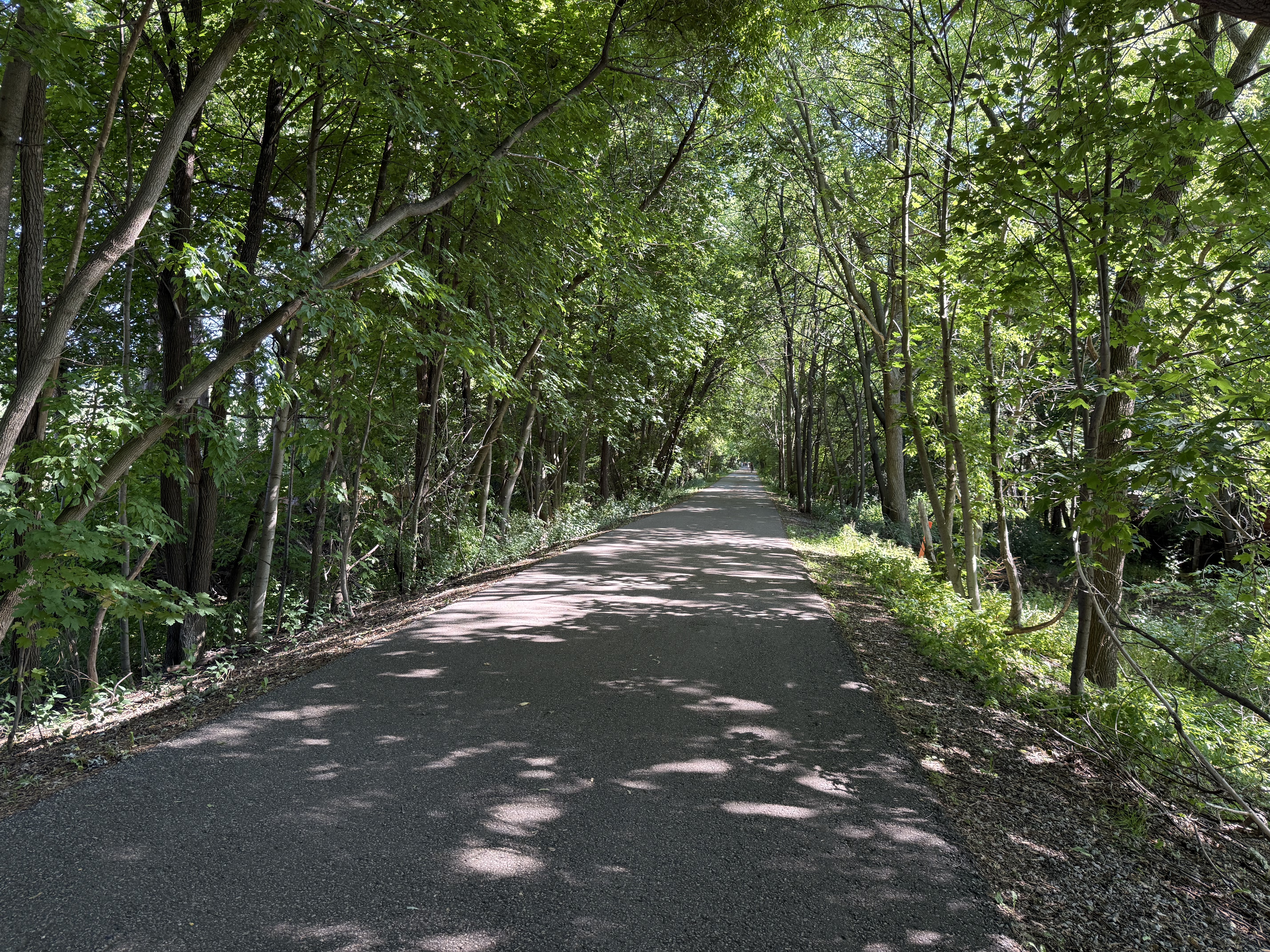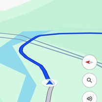
Dundas Station to Midland Avenue
- 28.4 km
- 249 m
- 141 m
- Toronto, Ontario, Canada
A cycling route starting in Toronto, Ontario, Canada.
Overview
The following describes a planned cycling trip longer than the Tour De France. This cycling trip essentially encompasses the northeastern seaboard of Canada and the United States.
To name the most important of involved stops, from beginning to end;
Toronto[C-ON], Niagara Falls [C-ON], Buffalo N.Y., Washington D.C., Baltimore [MD], Philidelphia PA, New York City, New Haven [CT], Boston [MA], Portland [ME], Bangor [ME], Saint John [C-NB], Moncton [C-NB], Halifax [C-NS], Moncton [C-NB], Fredericton [C-NB], Edmundston [C-NB], Quebec City [C-QC], Montreal [C-QC], Ottawa [C-ON], Kingston [C-ON], Belleville [C-ON], Cobourg [C-ON], Toronto [C-ON]. (Note: Belleville and Cobourg because of family importance in both places). The trip will both begin and end at the tallest building in the western hemisphere, the CN Tower in Toronto, Canada, and contains the possibility for a mountain climb should weather provide the luxury. This trip totals out to an approximate 10 days 3 hours biking and assuming appropriate lengths of sleep and sightseeing in each of the destinations, would make the entire trip calculable to approximately 30-35 days with 12 hours biking per day.
[Timing assumes 20km/h biking which has been proven sustainable with synthetic training tests at a local gym, more realistic distance tests are to be conducted during summer 2016 through 2019 to prepare].
created this 8 years ago
Continue with Bikemap
You would like to ride Round Trip 2020 or customize it for your own trip? Here is what you can do with this Bikemap route:
Free trial for 3 days, or one-time payment. More about Bikemap Premium.
Discover more Premium features.
Get Bikemap PremiumFrom our community
Open it in the app