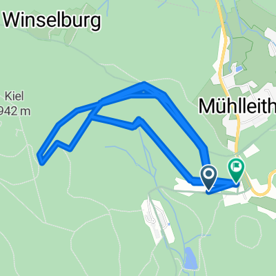
Mühlleithen-Zwenckau V3
A cycling route starting in Tannenbergsthal, Saxony, Germany.
Overview
About this route
- -:--
- Duration
- 116 km
- Distance
- 177 m
- Ascent
- 905 m
- Descent
- ---
- Avg. speed
- ---
- Avg. speed
Route quality
Waytypes & surfaces along the route
Waytypes
Road
47 km
(41 %)
Quiet road
21 km
(18 %)
Surfaces
Paved
84.7 km
(73 %)
Unpaved
13.2 km
(11 %)
Asphalt
82.9 km
(71 %)
Gravel
6.2 km
(5 %)
Continue with Bikemap
Use, edit, or download this cycling route
You would like to ride Mühlleithen-Zwenckau V3 or customize it for your own trip? Here is what you can do with this Bikemap route:
Free features
- Save this route as favorite or in collections
- Copy & plan your own version of this route
- Sync your route with Garmin or Wahoo
Premium features
Free trial for 3 days, or one-time payment. More about Bikemap Premium.
- Navigate this route on iOS & Android
- Export a GPX / KML file of this route
- Create your custom printout (try it for free)
- Download this route for offline navigation
Discover more Premium features.
Get Bikemap PremiumFrom our community
Other popular routes starting in Tannenbergsthal
- Mühlleithen-Zwenckau V3
- Distance
- 116 km
- Ascent
- 177 m
- Descent
- 905 m
- Location
- Tannenbergsthal, Saxony, Germany
- Mühlleiten-Carlsfeld-Morgenröthe-Mühlleiten
- Distance
- 24 km
- Ascent
- 429 m
- Descent
- 429 m
- Location
- Tannenbergsthal, Saxony, Germany
- ZP KH Mühlleiten - PERNINK
- Distance
- 27.1 km
- Ascent
- 393 m
- Descent
- 419 m
- Location
- Tannenbergsthal, Saxony, Germany
- Zusatz Männerstagsride zum Schneckenstein (Tannenbergsthal)
- Distance
- 9 km
- Ascent
- 231 m
- Descent
- 200 m
- Location
- Tannenbergsthal, Saxony, Germany
- Gabriel-Baumann-Straße 8, Muldenhammer nach Klingenthaler Straße 3, Muldenhammer
- Distance
- 42.7 km
- Ascent
- 1,299 m
- Descent
- 1,282 m
- Location
- Tannenbergsthal, Saxony, Germany
- Freeride & Downhill
- Distance
- 31.9 km
- Ascent
- 1,003 m
- Descent
- 1,000 m
- Location
- Tannenbergsthal, Saxony, Germany
- Vogtlandritt
- Distance
- 61.8 km
- Ascent
- 787 m
- Descent
- 925 m
- Location
- Tannenbergsthal, Saxony, Germany
- TBT - Klingenthal - TBT
- Distance
- 25.2 km
- Ascent
- 500 m
- Descent
- 500 m
- Location
- Tannenbergsthal, Saxony, Germany
Open it in the app