
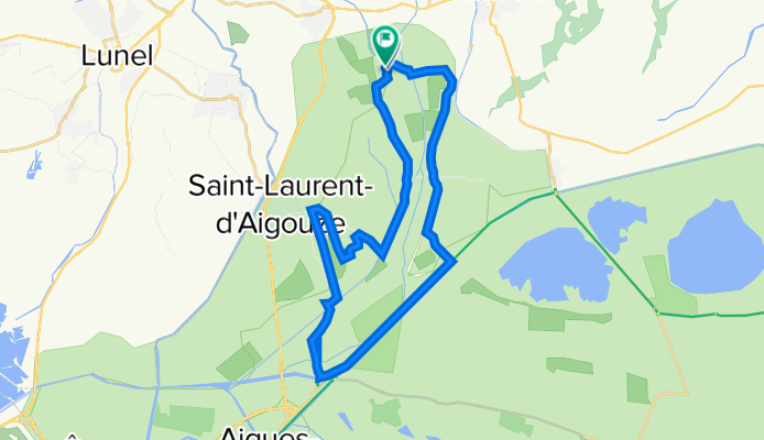
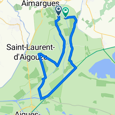
Le chemin des manadiers
A cycling route starting in Le Cailar, Occitanie, France.
Overview
About this route
- 4 h 27 min
- Duration
- 30.6 km
- Distance
- 22 m
- Ascent
- 23 m
- Descent
- 6.9 km/h
- Avg. speed
- ---
- Max. altitude

Route quality
Waytypes & surfaces along the route
Waytypes
Road
15 km
(49 %)
Cycleway
5.5 km
(18 %)
Surfaces
Paved
18.1 km
(59 %)
Unpaved
3.4 km
(11 %)
Asphalt
15 km
(49 %)
Paved (undefined)
2.8 km
(9 %)
Continue with Bikemap
Use, edit, or download this cycling route
You would like to ride Le chemin des manadiers or customize it for your own trip? Here is what you can do with this Bikemap route:
Free features
- Save this route as favorite or in collections
- Copy & plan your own version of this route
- Sync your route with Garmin or Wahoo
Premium features
Free trial for 3 days, or one-time payment. More about Bikemap Premium.
- Navigate this route on iOS & Android
- Export a GPX / KML file of this route
- Create your custom printout (try it for free)
- Download this route for offline navigation
Discover more Premium features.
Get Bikemap PremiumFrom our community
Other popular routes starting in Le Cailar
 Le chemin des manadiers
- Distance
- 30.6 km
- Ascent
- 22 m
- Descent
- 23 m
- Location
- Le Cailar, Occitanie, France
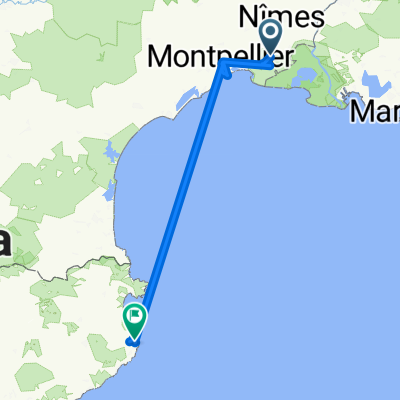 Platja de Pals
- Distance
- 276.6 km
- Ascent
- 129 m
- Descent
- 85 m
- Location
- Le Cailar, Occitanie, France
 Recovered Route
- Distance
- 11.9 km
- Ascent
- 34 m
- Descent
- 35 m
- Location
- Le Cailar, Occitanie, France
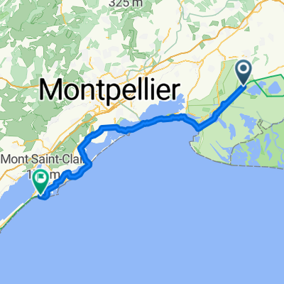
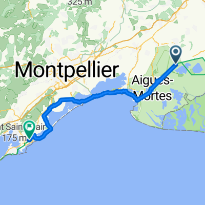 Le Cailar - Frontignan
- Distance
- 68.5 km
- Ascent
- 99 m
- Descent
- 102 m
- Location
- Le Cailar, Occitanie, France
 Le Cailar - Sète
- Distance
- 75.6 km
- Ascent
- 170 m
- Descent
- 149 m
- Location
- Le Cailar, Occitanie, France
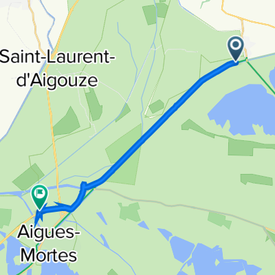
 Recovered Route
- Distance
- 15.7 km
- Ascent
- 13 m
- Descent
- 10 m
- Location
- Le Cailar, Occitanie, France
 De Mas Trouchaud 3917, Vauvert à Rue Sadi Carnot 39, Saint-Gilles
- Distance
- 24.1 km
- Ascent
- 129 m
- Descent
- 127 m
- Location
- Le Cailar, Occitanie, France
 Le chemin des manadiers
- Distance
- 27.1 km
- Ascent
- 17 m
- Descent
- 19 m
- Location
- Le Cailar, Occitanie, France
Open it in the app