

Amboise-Cosne s/Loire
A cycling route starting in Chargé, Centre-Val de Loire, France.
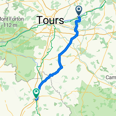
Overview
About this route
- -:--
- Duration
- 208.7 km
- Distance
- 448 m
- Ascent
- 337 m
- Descent
- ---
- Avg. speed
- ---
- Max. altitude
Route quality
Waytypes & surfaces along the route
Waytypes
Road
66.8 km
(32 %)
Quiet road
33.4 km
(16 %)
Surfaces
Paved
98.1 km
(47 %)
Unpaved
2.1 km
(1 %)
Asphalt
98.1 km
(47 %)
Ground
2.1 km
(1 %)
Undefined
108.5 km
(52 %)
Route highlights
Points of interest along the route
Accommodation after 178.9 km
Camping Pouilly tarif randonneur €7
Accommodation after 191 km
Camping la Charité €9
Continue with Bikemap
Use, edit, or download this cycling route
You would like to ride Amboise-Cosne s/Loire or customize it for your own trip? Here is what you can do with this Bikemap route:
Free features
- Save this route as favorite or in collections
- Copy & plan your own version of this route
- Split it into stages to create a multi-day tour
- Sync your route with Garmin or Wahoo
Premium features
Free trial for 3 days, or one-time payment. More about Bikemap Premium.
- Navigate this route on iOS & Android
- Export a GPX / KML file of this route
- Create your custom printout (try it for free)
- Download this route for offline navigation
Discover more Premium features.
Get Bikemap PremiumFrom our community
Other popular routes starting in Chargé
 Recovered Route
- Distance
- 42.9 km
- Ascent
- 268 m
- Descent
- 269 m
- Location
- Chargé, Centre-Val de Loire, France
 Chargé - Châtellerault
- Distance
- 93.4 km
- Ascent
- 57 m
- Descent
- 96 m
- Location
- Chargé, Centre-Val de Loire, France
 Day 7
Day 7- Distance
- 63.7 km
- Ascent
- 160 m
- Descent
- 134 m
- Location
- Chargé, Centre-Val de Loire, France
 Day 11 - Amboise - Saumur - let's rest here
- Distance
- 115.7 km
- Ascent
- 135 m
- Descent
- 164 m
- Location
- Chargé, Centre-Val de Loire, France
 Route nach 4 Chemin de la Forêt, Saint-Règle
- Distance
- 61.7 km
- Ascent
- 84 m
- Descent
- 85 m
- Location
- Chargé, Centre-Val de Loire, France
 17 Rue de la Forgetrie, Chargé nach Chemin de l'Abattoir, Amboise
- Distance
- 23.5 km
- Ascent
- 193 m
- Descent
- 242 m
- Location
- Chargé, Centre-Val de Loire, France
 Amboise / Montlouis-sur-Loire
- Distance
- 15.3 km
- Ascent
- 63 m
- Descent
- 95 m
- Location
- Chargé, Centre-Val de Loire, France
 Amboise-Cosne s/Loire
- Distance
- 208.7 km
- Ascent
- 448 m
- Descent
- 337 m
- Location
- Chargé, Centre-Val de Loire, France
Open it in the app