

Rekreatur2017_2E/2stage
A cycling route starting in Kranj, Kranj, Slovenia.
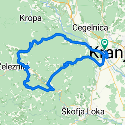
Overview
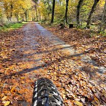
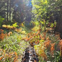
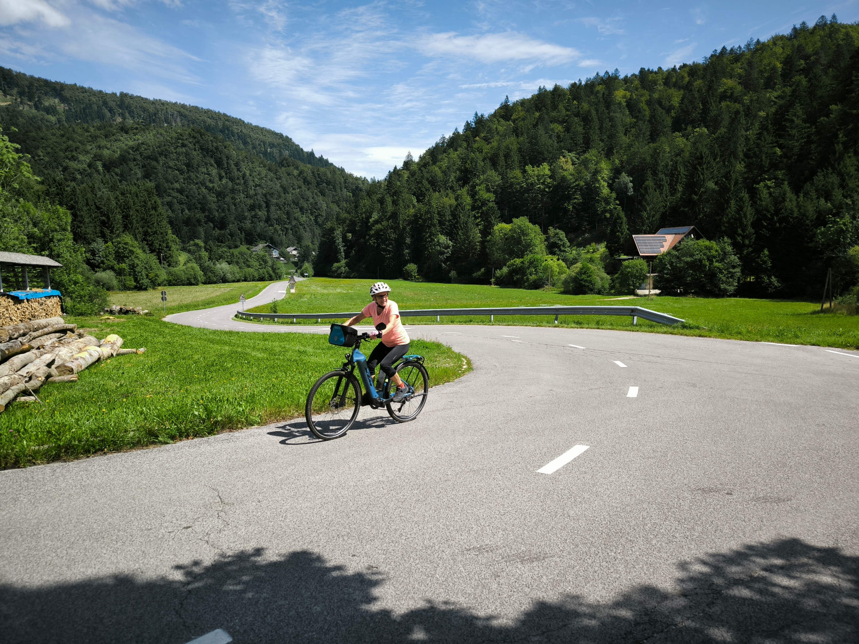
About this route
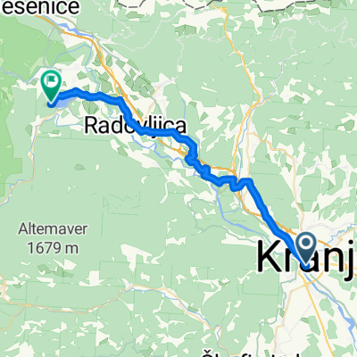
Kranj (Štart/Start) - Strahinj - Podbrezje - Kovor - Begunje - Rodine (KT4/CP4)- Rodine - Hraše - Lesce - Koritno - Bled - Zaka - Mlino - Ribno - Bodešče - Lancovo - Radovljica (KT5/CP5) - Brezje - Otoče - Podnart - Češnjica - Rovte - Spodnja Besnica - Kranj (Cilj/Finish)
- -:--
- Duration
- 86.3 km
- Distance
- 687 m
- Ascent
- 688 m
- Descent
- ---
- Avg. speed
- ---
- Max. altitude

Route quality
Waytypes & surfaces along the route
Waytypes
Quiet road
51.8 km
(60 %)
Road
14.7 km
(17 %)
Surfaces
Paved
56.1 km
(65 %)
Unpaved
2.6 km
(3 %)
Asphalt
55.2 km
(64 %)
Paved (undefined)
0.9 km
(1 %)
Route highlights
Points of interest along the route

Point of interest after 0.3 km
Kranj, Glavni trg ŠTART-CILJ / START-FINISH

Point of interest after 28.1 km
Rodine - rojstna hiša Janeza Jalna KT4/CP4

Point of interest after 53.3 km
Radovljica - Vidičeva hiša KT5/CP5
Continue with Bikemap
Use, edit, or download this cycling route
You would like to ride Rekreatur2017_2E/2stage or customize it for your own trip? Here is what you can do with this Bikemap route:
Free features
- Save this route as favorite or in collections
- Copy & plan your own version of this route
- Split it into stages to create a multi-day tour
- Sync your route with Garmin or Wahoo
Premium features
Free trial for 3 days, or one-time payment. More about Bikemap Premium.
- Navigate this route on iOS & Android
- Export a GPX / KML file of this route
- Create your custom printout (try it for free)
- Download this route for offline navigation
Discover more Premium features.
Get Bikemap PremiumFrom our community
Other popular routes starting in Kranj
 KR Air
- Distance
- 26.6 km
- Ascent
- 75 m
- Descent
- 59 m
- Location
- Kranj, Kranj, Slovenia
 Udin MTB criss cross
- Distance
- 30.5 km
- Ascent
- 656 m
- Descent
- 626 m
- Location
- Kranj, Kranj, Slovenia
 Kranj vzhod MTB
- Distance
- 29.6 km
- Ascent
- 273 m
- Descent
- 267 m
- Location
- Kranj, Kranj, Slovenia
 Smlednik castle by bike
- Distance
- 32.3 km
- Ascent
- 424 m
- Descent
- 426 m
- Location
- Kranj, Kranj, Slovenia
 Kranj, Čepulje, Stirpnik, Selca, Kališe, kranj
- Distance
- 52 km
- Ascent
- 1,367 m
- Descent
- 1,368 m
- Location
- Kranj, Kranj, Slovenia
 Lost and found
- Distance
- 34 km
- Ascent
- 784 m
- Descent
- 850 m
- Location
- Kranj, Kranj, Slovenia
 Orehek - Jamnik - Kropa - Orehek
- Distance
- 24.9 km
- Ascent
- 677 m
- Descent
- 569 m
- Location
- Kranj, Kranj, Slovenia
 Tavčarjeva ulica, Kranj to Bled, Bled
- Distance
- 34.5 km
- Ascent
- 569 m
- Descent
- 458 m
- Location
- Kranj, Kranj, Slovenia
Open it in the app