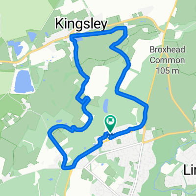
Bolley Avenue 2 to Oakhanger Road 4
- 16.8 km
- 116 m
- 109 m
- Bordon, England, United Kingdom
A cycling route starting in Bordon, England, United Kingdom.
Overview
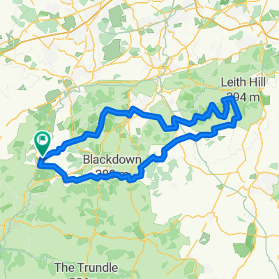
Leith Hill and St Marys
created this 8 years ago
Route quality
Quiet road
34 km
(33 %)
Road
27.8 km
(27 %)
Paved
29.9 km
(29 %)
Unpaved
10.3 km
(10 %)
Asphalt
29.9 km
(29 %)
Ground
10.3 km
(10 %)
Undefined
62.8 km
(61 %)
Continue with Bikemap
You would like to ride 100km trainig route or customize it for your own trip? Here is what you can do with this Bikemap route:
Free trial for 3 days, or one-time payment. More about Bikemap Premium.
Discover more Premium features.
Get Bikemap PremiumFrom our community
Open it in the app