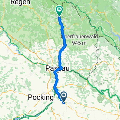
Unterteufenbach nach Mörschwang
A cycling route starting in Sankt Marienkirchen bei Schärding, Upper Austria, Austria.
Overview
About this route
Radtour nach Mörschwang. Teilweise auf dem Innradweg über Reichersberg. Ziel Dorfhaus mit sehr guter Gastromonie.
- -:--
- Duration
- 23.2 km
- Distance
- 124 m
- Ascent
- 66 m
- Descent
- ---
- Avg. speed
- ---
- Avg. speed
Route quality
Waytypes & surfaces along the route
Waytypes
Cycleway
10.1 km
(43 %)
Quiet road
8.3 km
(36 %)
Surfaces
Paved
7.2 km
(31 %)
Unpaved
6 km
(26 %)
Asphalt
7 km
(30 %)
Gravel
6 km
(26 %)
Continue with Bikemap
Use, edit, or download this cycling route
You would like to ride Unterteufenbach nach Mörschwang or customize it for your own trip? Here is what you can do with this Bikemap route:
Free features
- Save this route as favorite or in collections
- Copy & plan your own version of this route
- Sync your route with Garmin or Wahoo
Premium features
Free trial for 3 days, or one-time payment. More about Bikemap Premium.
- Navigate this route on iOS & Android
- Export a GPX / KML file of this route
- Create your custom printout (try it for free)
- Download this route for offline navigation
Discover more Premium features.
Get Bikemap PremiumFrom our community
Other popular routes starting in Sankt Marienkirchen bei Schärding
- Von Eggerding bis Fürstenzell
- Distance
- 30.4 km
- Ascent
- 353 m
- Descent
- 349 m
- Location
- Sankt Marienkirchen bei Schärding, Upper Austria, Austria
- H 24, 4774 - Schardenberg - H 24
- Distance
- 47.1 km
- Ascent
- 585 m
- Descent
- 565 m
- Location
- Sankt Marienkirchen bei Schärding, Upper Austria, Austria
- Höhentour durchs Innviertel
- Distance
- 43.1 km
- Ascent
- 317 m
- Descent
- 318 m
- Location
- Sankt Marienkirchen bei Schärding, Upper Austria, Austria
- Peti&Zoli
- Distance
- 22.3 km
- Ascent
- 564 m
- Descent
- 566 m
- Location
- Sankt Marienkirchen bei Schärding, Upper Austria, Austria
- Route in Eggerding-Au, Sankt Roman
- Distance
- 49.1 km
- Ascent
- 700 m
- Descent
- 663 m
- Location
- Sankt Marienkirchen bei Schärding, Upper Austria, Austria
- 4774 Greiner Mosthof
- Distance
- 14.6 km
- Ascent
- 156 m
- Descent
- 156 m
- Location
- Sankt Marienkirchen bei Schärding, Upper Austria, Austria
- Sigharting-Zell/Pr.-Riedau-Kimpling-Zell/Pr-Linden-Sigharting
- Distance
- 51.2 km
- Ascent
- 244 m
- Descent
- 245 m
- Location
- Sankt Marienkirchen bei Schärding, Upper Austria, Austria
- Würding Aigen am Inn
- Distance
- 41.3 km
- Ascent
- 68 m
- Descent
- 68 m
- Location
- Sankt Marienkirchen bei Schärding, Upper Austria, Austria
Open it in the app