2012 French Tour -- Ride Day 16 -- 23 August 2012 -- Vesoul to Épinal
- 91.5 km
- 586 m
- 425 m
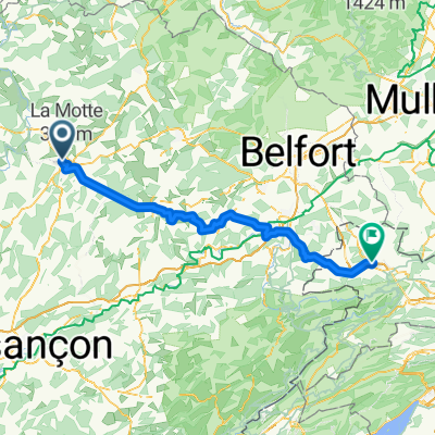
- Vesoul, Bourgogne-Franche-Comté, France
A cycling route starting in Vesoul, Bourgogne-Franche-Comté, France.
Overview
It only took two stage finishes there for La Planche des Belles Filles to add its name to the history of the Tour. The climb is rather short however it's extremely demanding, especially on the final part. The gradients indeed reach 20%. It'll be a first explanation between the favourites.
created this 8 years ago
Route quality
Road
101.7 km
(47 %)
Quiet road
21.6 km
(10 %)
Paved
36.8 km
(17 %)
Unpaved
4.3 km
(2 %)
Asphalt
36.8 km
(17 %)
Gravel
4.3 km
(2 %)
Undefined
175.3 km
(81 %)
Continue with Bikemap
You would like to ride Stage 6 » Vesoul › Troyes (216k) or customize it for your own trip? Here is what you can do with this Bikemap route:
Free trial for 3 days, or one-time payment. More about Bikemap Premium.
Discover more Premium features.
Get Bikemap PremiumFrom our community
Open it in the app