

Lange Ausfahrt von Sturzelbronn nach Bitche
A cycling route starting in Bitche, Grand Est, France.
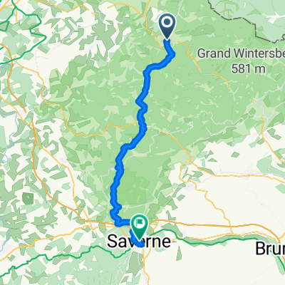
Overview
About this route
To Weißenburg 720 m elevation gain, 74 km
- -:--
- Duration
- 89.3 km
- Distance
- 673 m
- Ascent
- 626 m
- Descent
- ---
- Avg. speed
- ---
- Max. altitude
Route quality
Waytypes & surfaces along the route
Waytypes
Quiet road
8.9 km
(10 %)
Track
4.5 km
(5 %)
Surfaces
Paved
81.3 km
(91 %)
Unpaved
1.8 km
(2 %)
Asphalt
75.9 km
(85 %)
Paved (undefined)
5.4 km
(6 %)
Route highlights
Points of interest along the route

Photo after 10.8 km
Continue with Bikemap
Use, edit, or download this cycling route
You would like to ride Lange Ausfahrt von Sturzelbronn nach Bitche or customize it for your own trip? Here is what you can do with this Bikemap route:
Free features
- Save this route as favorite or in collections
- Copy & plan your own version of this route
- Split it into stages to create a multi-day tour
- Sync your route with Garmin or Wahoo
Premium features
Free trial for 3 days, or one-time payment. More about Bikemap Premium.
- Navigate this route on iOS & Android
- Export a GPX / KML file of this route
- Create your custom printout (try it for free)
- Download this route for offline navigation
Discover more Premium features.
Get Bikemap PremiumFrom our community
Other popular routes starting in Bitche
 Bitsch - Zabern
- Distance
- 55.6 km
- Ascent
- 1,224 m
- Descent
- 1,325 m
- Location
- Bitche, Grand Est, France
 Bastille Bitche to Etang Hasselfort
- Distance
- 9.1 km
- Ascent
- 175 m
- Descent
- 181 m
- Location
- Bitche, Grand Est, France
 Lange Ausfahrt von Sturzelbronn nach Bitche
- Distance
- 89.3 km
- Ascent
- 673 m
- Descent
- 626 m
- Location
- Bitche, Grand Est, France
 DIaRadtour 2011 Tag 2 Alternative 2
- Distance
- 77.4 km
- Ascent
- 224 m
- Descent
- 345 m
- Location
- Bitche, Grand Est, France
 DIaRadtour 2011 Tag 2 Alternative
- Distance
- 71.4 km
- Ascent
- 282 m
- Descent
- 401 m
- Location
- Bitche, Grand Est, France
 Frankreich 2024 Pays de Bitche
- Distance
- 82.1 km
- Ascent
- 1,184 m
- Descent
- 1,173 m
- Location
- Bitche, Grand Est, France
 Dambach-Jaegerthal-Reichshoffen-Zinswiller-Barenthal
- Distance
- 53.9 km
- Ascent
- 634 m
- Descent
- 669 m
- Location
- Bitche, Grand Est, France
 DIaRadtour 2011 Tag 2
- Distance
- 66.7 km
- Ascent
- 233 m
- Descent
- 354 m
- Location
- Bitche, Grand Est, France
Open it in the app