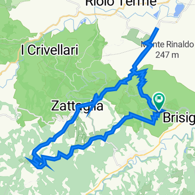
***da provare***
- 40.3 km
- 1,243 m
- 1,243 m
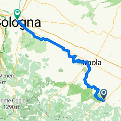
- Brisighella, Emilia-Romagna, Italy
Stage 6 Brisighella - Pieve al Toppo
including 2600 meters of elevation gain
July 27, 2017
Road
49.4 km33 %Track
24 km16 %Paved
77.9 km(52 %)Unpaved
34.4 km(23 %)Asphalt
76.4 km51 %Gravel
21 km14 %Free trial for 3 days, or one-time payment. More about Bikemap Premium.
Discover more Premium features.
Get Bikemap PremiumOpen it in the app