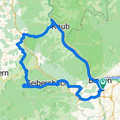
Bingen-Kreuznach Salinental und zurück
A cycling route starting in Münster-Sarmsheim, Rhineland-Palatinate, Germany.
Overview
About this route
- -:--
- Duration
- 46.1 km
- Distance
- 180 m
- Ascent
- 180 m
- Descent
- ---
- Avg. speed
- ---
- Max. altitude
Route quality
Waytypes & surfaces along the route
Waytypes
Track
15.2 km
(33 %)
Path
8.8 km
(19 %)
Surfaces
Paved
35 km
(76 %)
Unpaved
3.2 km
(7 %)
Asphalt
33.6 km
(73 %)
Gravel
1.4 km
(3 %)
Route highlights
Points of interest along the route

Photo after 7.5 km

Photo after 22.5 km
Continue with Bikemap
Use, edit, or download this cycling route
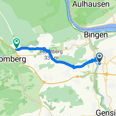
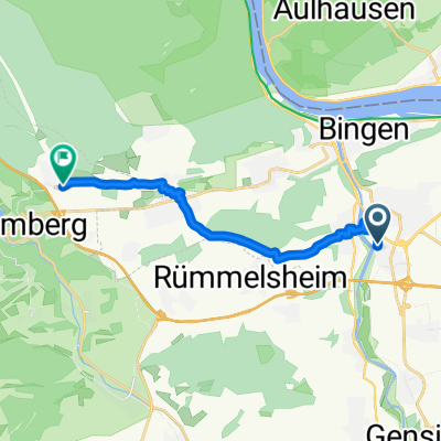
You would like to ride Bingen-Kreuznach Salinental und zurück or customize it for your own trip? Here is what you can do with this Bikemap route:
Free features
- Save this route as favorite or in collections
- Copy & plan your own version of this route
- Sync your route with Garmin or Wahoo
Premium features
Free trial for 3 days, or one-time payment. More about Bikemap Premium.
- Navigate this route on iOS & Android
- Export a GPX / KML file of this route
- Create your custom printout (try it for free)
- Download this route for offline navigation
Discover more Premium features.
Get Bikemap PremiumFrom our community
Other popular routes starting in Münster-Sarmsheim
Route in Bingen am Rhein- Distance
- 26.4 km
- Ascent
- 118 m
- Descent
- 115 m
- Location
- Münster-Sarmsheim, Rhineland-Palatinate, Germany
In der Weizengewann, Bingen am Rhein nach Wald-Erbacher-Straße, Warmsroth- Distance
- 11.4 km
- Ascent
- 303 m
- Descent
- 57 m
- Location
- Münster-Sarmsheim, Rhineland-Palatinate, Germany
Zahnarzt- Distance
- 14.6 km
- Ascent
- 65 m
- Descent
- 35 m
- Location
- Münster-Sarmsheim, Rhineland-Palatinate, Germany
Soonwald-Bingerwald- Distance
- 65.3 km
- Ascent
- 1,320 m
- Descent
- 1,041 m
- Location
- Münster-Sarmsheim, Rhineland-Palatinate, Germany
Bingen-Kreuznach Salinental und zurück- Distance
- 46.1 km
- Ascent
- 180 m
- Descent
- 180 m
- Location
- Münster-Sarmsheim, Rhineland-Palatinate, Germany
Bingen-Lauschhütte-Schanzerkopf-Stromberg-Heim- Distance
- 73.5 km
- Ascent
- 1,353 m
- Descent
- 1,364 m
- Location
- Münster-Sarmsheim, Rhineland-Palatinate, Germany
Kreuzbachklamm Tour- Distance
- 40.1 km
- Ascent
- 1,161 m
- Descent
- 1,161 m
- Location
- Münster-Sarmsheim, Rhineland-Palatinate, Germany
Trainings Route 1- Distance
- 13.8 km
- Ascent
- 69 m
- Descent
- 65 m
- Location
- Münster-Sarmsheim, Rhineland-Palatinate, Germany
Open it in the app


