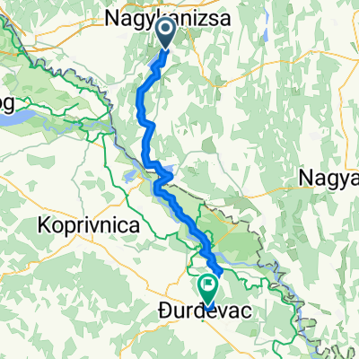
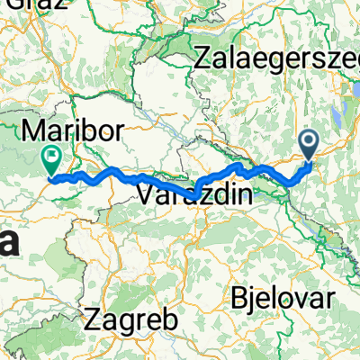
Zalai túra
A cycling route starting in Nagykanizsa, Zala County, Hungary.
Overview
About this route
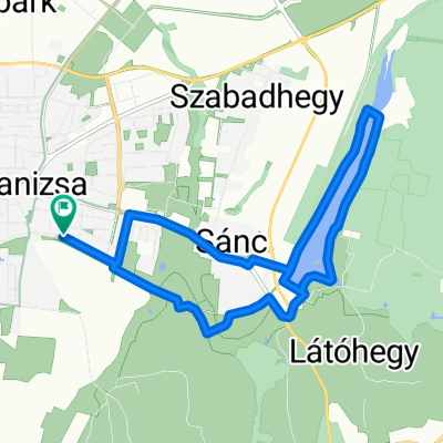
Nagykanizsa-Letenye-Bázakerettye-Zalakaros-Zalavár-Balatonszentgyörgy
- -:--
- Duration
- 142.6 km
- Distance
- 281 m
- Ascent
- 336 m
- Descent
- ---
- Avg. speed
- ---
- Max. altitude
Route quality
Waytypes & surfaces along the route
Waytypes
Busy road
97.3 km
(68 %)
Quiet road
14.3 km
(10 %)
Surfaces
Paved
80.3 km
(56 %)
Unpaved
8.3 km
(6 %)
Asphalt
78.3 km
(55 %)
Ground
5.1 km
(4 %)
Continue with Bikemap
Use, edit, or download this cycling route
You would like to ride Zalai túra or customize it for your own trip? Here is what you can do with this Bikemap route:
Free features
- Save this route as favorite or in collections
- Copy & plan your own version of this route
- Split it into stages to create a multi-day tour
- Sync your route with Garmin or Wahoo
Premium features
Free trial for 3 days, or one-time payment. More about Bikemap Premium.
- Navigate this route on iOS & Android
- Export a GPX / KML file of this route
- Create your custom printout (try it for free)
- Download this route for offline navigation
Discover more Premium features.
Get Bikemap PremiumFrom our community
Other popular routes starting in Nagykanizsa
- Látóhegy - Gáspár-hegy - Nagyrécse - Bacónaki-hegy - Cserfő
- Distance
- 33.4 km
- Ascent
- 391 m
- Descent
- 390 m
- Location
- Nagykanizsa, Zala County, Hungary
- Börzönce1
- Distance
- 65.4 km
- Ascent
- 327 m
- Descent
- 327 m
- Location
- Nagykanizsa, Zala County, Hungary
- Vörös-hegyi kör
- Distance
- 33.1 km
- Ascent
- 197 m
- Descent
- 203 m
- Location
- Nagykanizsa, Zala County, Hungary
- Murafölde kör 2
- Distance
- 222 km
- Ascent
- 3,042 m
- Descent
- 3,043 m
- Location
- Nagykanizsa, Zala County, Hungary
- Obornak Várdomb kör
- Distance
- 14.7 km
- Ascent
- 343 m
- Descent
- 349 m
- Location
- Nagykanizsa, Zala County, Hungary
- Obornak_Várdomb
- Distance
- 3.7 km
- Ascent
- 136 m
- Descent
- 8 m
- Location
- Nagykanizsa, Zala County, Hungary
- Várdomb_Homokkomárom_Palin
- Distance
- 18.9 km
- Ascent
- 319 m
- Descent
- 437 m
- Location
- Nagykanizsa, Zala County, Hungary
- Tengerre magyar 1.st day
- Distance
- 174.9 km
- Ascent
- 410 m
- Descent
- 437 m
- Location
- Nagykanizsa, Zala County, Hungary
Open it in the app