

"BOCAIN" LOOP
A cycling route starting in Sérigné, Pays de la Loire Region, France.
Overview
About this route
Difficulty : Mediuam Distance : 30,8 km
Asphalt coating (43,7 km), Clean site : 0,2 km - Shared track : 43,5 km
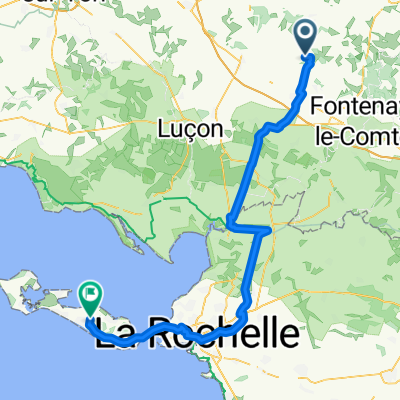
Starting point(s) : Place du Champs de Foire à L'Hermenault Eglise de Bourneau Etang de Saint Cyr des Gâts
Communes traversées : SAINT CYR DES GATS, BOURNEAU, MARSAIS SAINTE RADEGONDE, L'HERMENAULT, SERIGNE
- -:--
- Duration
- 30.9 km
- Distance
- 221 m
- Ascent
- 221 m
- Descent
- ---
- Avg. speed
- ---
- Max. altitude

Route quality
Waytypes & surfaces along the route
Waytypes
Quiet road
24.7 km
(80 %)
Road
5.4 km
(18 %)
Surfaces
Paved
4 km
(13 %)
Asphalt
4 km
(13 %)
Undefined
26.9 km
(87 %)
Continue with Bikemap
Use, edit, or download this cycling route
You would like to ride "BOCAIN" LOOP or customize it for your own trip? Here is what you can do with this Bikemap route:
Free features
- Save this route as favorite or in collections
- Copy & plan your own version of this route
- Sync your route with Garmin or Wahoo
Premium features
Free trial for 3 days, or one-time payment. More about Bikemap Premium.
- Navigate this route on iOS & Android
- Export a GPX / KML file of this route
- Create your custom printout (try it for free)
- Download this route for offline navigation
Discover more Premium features.
Get Bikemap PremiumFrom our community
Other popular routes starting in Sérigné
 "BOCAIN" LOOP
- Distance
- 30.9 km
- Ascent
- 221 m
- Descent
- 221 m
- Location
- Sérigné, Pays de la Loire Region, France
 De 6–12 Rue de la Gâtine, Saint-Cyr-des-Gâts à 1 La Pommaire, La Forêt-sur-Sèvre
- Distance
- 33.4 km
- Ascent
- 336 m
- Descent
- 268 m
- Location
- Sérigné, Pays de la Loire Region, France
 De Grande Rue 7, L'Hermenault à Grande Rue 7, L'Hermenault
- Distance
- 30.9 km
- Ascent
- 233 m
- Descent
- 233 m
- Location
- Sérigné, Pays de la Loire Region, France
 Rue de la Fontaine, Longèves à 124 Grande Rue, L'Hermenault
- Distance
- 6.2 km
- Ascent
- 55 m
- Descent
- 34 m
- Location
- Sérigné, Pays de la Loire Region, France
 Les Petits Humeaux, Saint-Laurent-de-la-Salle naar Rue du Courseau, Le Bois
- Distance
- 88.8 km
- Ascent
- 160 m
- Descent
- 220 m
- Location
- Sérigné, Pays de la Loire Region, France
 De 13 Rue des Cerisiers, Sérigné à 5 Rue du Général Bonnaud, Sérigné
- Distance
- 5.5 km
- Ascent
- 90 m
- Descent
- 88 m
- Location
- Sérigné, Pays de la Loire Region, France
 Rue de la Fontaine, Longèves à 97A Grande Rue, L'Hermenault
- Distance
- 5.7 km
- Ascent
- 34 m
- Descent
- 21 m
- Location
- Sérigné, Pays de la Loire Region, France
 De Rue des Hirondelles 3, Bourneau à Rue des Hirondelles 3, Bourneau
- Distance
- 33.2 km
- Ascent
- 78 m
- Descent
- 108 m
- Location
- Sérigné, Pays de la Loire Region, France
Open it in the app