

HZ 002: Ellrich
A cycling route starting in Wieda, Lower Saxony, Germany.
Overview
About this route
<p>Wieda - Zorge - Ellrich - Sülzhayn - Werna - Appenrode - Ilfeld - HP Niedersachswerfen-Ilfelder Str. - Appenrode - Woffleben - Mauderode - Steinsee - Liebenrode - Klettenberg - Tettenborn - Neuhof - Branderode - Obersachswerfen - Wiedigshof - Walkenried - Wieda</p>
Translated, show original (German)- -:--
- Duration
- 58.5 km
- Distance
- 488 m
- Ascent
- 487 m
- Descent
- ---
- Avg. speed
- ---
- Max. altitude
Route quality
Waytypes & surfaces along the route
Waytypes
Road
27.5 km
(47 %)
Quiet road
9.4 km
(16 %)
Surfaces
Paved
46.2 km
(79 %)
Asphalt
43.3 km
(74 %)
Paved (undefined)
2.9 km
(5 %)
Undefined
12.3 km
(21 %)
Continue with Bikemap
Use, edit, or download this cycling route
You would like to ride HZ 002: Ellrich or customize it for your own trip? Here is what you can do with this Bikemap route:
Free features
- Save this route as favorite or in collections
- Copy & plan your own version of this route
- Sync your route with Garmin or Wahoo
Premium features
Free trial for 3 days, or one-time payment. More about Bikemap Premium.
- Navigate this route on iOS & Android
- Export a GPX / KML file of this route
- Create your custom printout (try it for free)
- Download this route for offline navigation
Discover more Premium features.
Get Bikemap PremiumFrom our community
Other popular routes starting in Wieda
 Stöberhai-Tour
- Distance
- 26.3 km
- Ascent
- 609 m
- Descent
- 609 m
- Location
- Wieda, Lower Saxony, Germany
 Harz_Zorge_Rundtour
- Distance
- 55.3 km
- Ascent
- 1,065 m
- Descent
- 1,033 m
- Location
- Wieda, Lower Saxony, Germany
 Wieda
Wieda- Distance
- 28.1 km
- Ascent
- 436 m
- Descent
- 328 m
- Location
- Wieda, Lower Saxony, Germany
 Schlesierweg 2, Wieda nach Ravensberg, Bad Sachsa
- Distance
- 5.4 km
- Ascent
- 288 m
- Descent
- 65 m
- Location
- Wieda, Lower Saxony, Germany
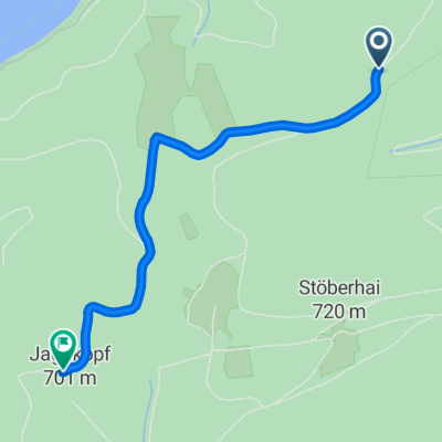
 Stöberhai
- Distance
- 16.4 km
- Ascent
- 346 m
- Descent
- 356 m
- Location
- Wieda, Lower Saxony, Germany
 stoberhei
- Distance
- 5 km
- Ascent
- 64 m
- Descent
- 380 m
- Location
- Wieda, Lower Saxony, Germany
 Göttingen naar Göttingen
- Distance
- 2.3 km
- Ascent
- 58 m
- Descent
- 41 m
- Location
- Wieda, Lower Saxony, Germany
 HZ 002: Ellrich
- Distance
- 58.5 km
- Ascent
- 488 m
- Descent
- 487 m
- Location
- Wieda, Lower Saxony, Germany
Open it in the app