Swisstopo Route
- 40.5 km
- 643 m
- 645 m
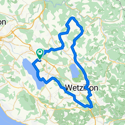
- Nänikon / Nänikon (Dorfkern), Canton of Zurich, Switzerland
A cycling route starting in Nänikon / Nänikon (Dorfkern), Canton of Zurich, Switzerland.
Overview
Wonderful spring landscapes!
created this 8 years ago
Route quality
Road
41.5 km
(41 %)
Quiet road
18.2 km
(18 %)
Paved
86.1 km
(85 %)
Unpaved
1 km
(1 %)
Asphalt
86.1 km
(85 %)
Gravel
1 km
(1 %)
Undefined
14.2 km
(14 %)
Continue with Bikemap
You would like to ride 100er-Tour or customize it for your own trip? Here is what you can do with this Bikemap route:
Free trial for 3 days, or one-time payment. More about Bikemap Premium.
Discover more Premium features.
Get Bikemap PremiumFrom our community
Open it in the app