

Okolo priehrady
A cycling route starting in Šaľa, Nitra Region, Slovakia.
Overview
About this route
- -:--
- Duration
- 40.2 km
- Distance
- 59 m
- Ascent
- 57 m
- Descent
- ---
- Avg. speed
- ---
- Max. altitude

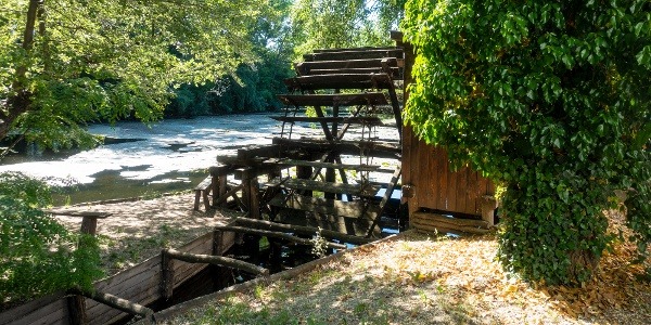
Route photos


Continue with Bikemap
Use, edit, or download this cycling route
You would like to ride Okolo priehrady or customize it for your own trip? Here is what you can do with this Bikemap route:
Free features
- Save this route as favorite or in collections
- Copy & plan your own version of this route
- Sync your route with Garmin or Wahoo
Premium features
Free trial for 3 days, or one-time payment. More about Bikemap Premium.
- Navigate this route on iOS & Android
- Export a GPX / KML file of this route
- Create your custom printout (try it for free)
- Download this route for offline navigation
Discover more Premium features.
Get Bikemap PremiumFrom our community
Other popular routes starting in Šaľa
 Kráľová - Brezová
- Distance
- 85.4 km
- Ascent
- 352 m
- Descent
- 117 m
- Location
- Šaľa, Nitra Region, Slovakia
 Trnovec n/V - Sereď
- Distance
- 52.6 km
- Ascent
- 36 m
- Descent
- 0 m
- Location
- Šaľa, Nitra Region, Slovakia
 KNV - kilič
- Distance
- 16.5 km
- Ascent
- 47 m
- Descent
- 48 m
- Location
- Šaľa, Nitra Region, Slovakia
 Nečakaná dvojstovka
- Distance
- 200.9 km
- Ascent
- 55 m
- Descent
- 55 m
- Location
- Šaľa, Nitra Region, Slovakia
 Trnovec nad Váhom do Trnovec nad Váhom
- Distance
- 55.5 km
- Ascent
- 74 m
- Descent
- 77 m
- Location
- Šaľa, Nitra Region, Slovakia
 Route to Žihárec
- Distance
- 48.8 km
- Ascent
- 13 m
- Descent
- 13 m
- Location
- Šaľa, Nitra Region, Slovakia
 Okolo priehrady
- Distance
- 40.2 km
- Ascent
- 59 m
- Descent
- 57 m
- Location
- Šaľa, Nitra Region, Slovakia
 KNV - Vincov les.
- Distance
- 43 km
- Ascent
- 32 m
- Descent
- 35 m
- Location
- Šaľa, Nitra Region, Slovakia
Open it in the app