

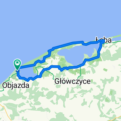
Wzdłuż jezior Słowińskiego Parku Narodowego
A cycling route starting in Smołdzino, Pomeranian Voivodeship, Poland.
Overview
About this route
- -:--
- Duration
- 20.4 km
- Distance
- 115 m
- Ascent
- 76 m
- Descent
- ---
- Avg. speed
- ---
- Max. altitude
Route quality
Waytypes & surfaces along the route
Waytypes
Track
12.8 km
(63 %)
Access road
3.1 km
(15 %)
Surfaces
Paved
4.3 km
(21 %)
Unpaved
13.7 km
(67 %)
Loose gravel
8.2 km
(40 %)
Unpaved (undefined)
3.1 km
(15 %)
Route highlights
Points of interest along the route

Point of interest after 2.8 km
Taras na jeziorze Gardno

Point of interest after 9.2 km
Taras na jeziorze Dołgie Małe

Point of interest after 10.8 km
Taras na jeziorze Dołgie Duże
Point of interest after 17 km
Woliera z przebywającym dożywotnio Bielikiem.
Point of interest after 17.7 km
Punkt widokowy na 20 metrowej wydmie.
Point of interest after 20.4 km
Latarnia w Czołpinie.
Continue with Bikemap
Use, edit, or download this cycling route
You would like to ride Wzdłuż jezior Słowińskiego Parku Narodowego or customize it for your own trip? Here is what you can do with this Bikemap route:
Free features
- Save this route as favorite or in collections
- Copy & plan your own version of this route
- Sync your route with Garmin or Wahoo
Premium features
Free trial for 3 days, or one-time payment. More about Bikemap Premium.
- Navigate this route on iOS & Android
- Export a GPX / KML file of this route
- Create your custom printout (try it for free)
- Download this route for offline navigation
Discover more Premium features.
Get Bikemap PremiumFrom our community
Other popular routes starting in Smołdzino
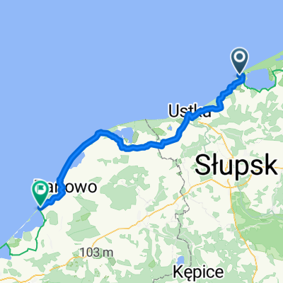 Wczasowa, Rowy do Darłowska, Dąbki
- Distance
- 75.4 km
- Ascent
- 246 m
- Descent
- 251 m
- Location
- Smołdzino, Pomeranian Voivodeship, Poland
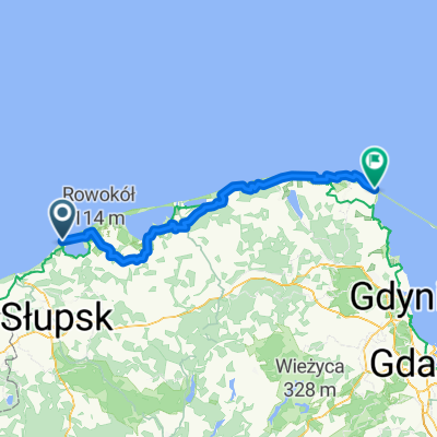
 Jeżynowa 4, Rowy do Wczasowa 27, Ustka
- Distance
- 17.7 km
- Ascent
- 509 m
- Descent
- 556 m
- Location
- Smołdzino, Pomeranian Voivodeship, Poland
 Wzdłuż jezior Słowińskiego Parku Narodowego
- Distance
- 20.4 km
- Ascent
- 115 m
- Descent
- 76 m
- Location
- Smołdzino, Pomeranian Voivodeship, Poland
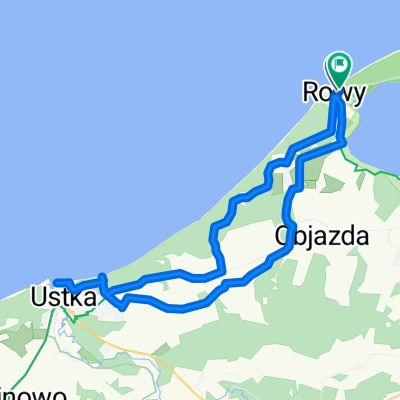
 rowy łeba rowy
- Distance
- 91.7 km
- Ascent
- 105 m
- Descent
- 102 m
- Location
- Smołdzino, Pomeranian Voivodeship, Poland
 Dookoła jeziora Gardno
- Distance
- 26.8 km
- Ascent
- 43 m
- Descent
- 43 m
- Location
- Smołdzino, Pomeranian Voivodeship, Poland
 Pensjonatowa to Kolejowa
- Distance
- 129 km
- Ascent
- 995 m
- Descent
- 1,031 m
- Location
- Smołdzino, Pomeranian Voivodeship, Poland
 Pensjonatowa to Kolejowa
- Distance
- 121.2 km
- Ascent
- 661 m
- Descent
- 649 m
- Location
- Smołdzino, Pomeranian Voivodeship, Poland
 Nadmorska, Rowy do Wydmowa, Rowy
- Distance
- 43.8 km
- Ascent
- 494 m
- Descent
- 498 m
- Location
- Smołdzino, Pomeranian Voivodeship, Poland
Open it in the app