

Fürth-Nürnberg-Gerasmühle
A cycling route starting in Fürth, Bavaria, Germany.
Overview
About this route
Von Fürth-Stadeln den Pegnitz-Radweg bis zum Bahnhof. Durch die Nürnberger Südstadt geht es zwar auf Radwegen und ruhigen Straßen entlang, ist aber wegen des Verkehrs nicht schön zu fahren. Das ändert sich aber ab Gerasmühle, wo man in einer Weinstube mit Biergarten einkehren kann. Auf Schleichwegen geht es über Deutenbach zur vielbefahrenen B14, an der man auf einem gut ausgebauten Radweg noch einmal dem Autolärm ausgesetzt ist. Hinter Gutzberg erreicht man aber ein wunderschönes, ruhiges Tal, von dem man bei Oberbüchlein Richtung Oberasbach abzweigt. Von der Anhöhe hat man einen schönen Blick auf Nürnberg und Zirndorf. Dort angekommen radelt man auf dem Biberttalradweg zurück nach Fürth.
- -:--
- Duration
- 43.1 km
- Distance
- 150 m
- Ascent
- 161 m
- Descent
- ---
- Avg. speed
- ---
- Avg. speed
Route quality
Waytypes & surfaces along the route
Waytypes
Path
20.3 km
(47 %)
Quiet road
13 km
(30 %)
Surfaces
Paved
36.7 km
(85 %)
Unpaved
3.2 km
(7 %)
Asphalt
32.4 km
(75 %)
Paving stones
3.6 km
(8 %)
Continue with Bikemap
Use, edit, or download this cycling route
You would like to ride Fürth-Nürnberg-Gerasmühle or customize it for your own trip? Here is what you can do with this Bikemap route:
Free features
- Save this route as favorite or in collections
- Copy & plan your own version of this route
- Sync your route with Garmin or Wahoo
Premium features
Free trial for 3 days, or one-time payment. More about Bikemap Premium.
- Navigate this route on iOS & Android
- Export a GPX / KML file of this route
- Create your custom printout (try it for free)
- Download this route for offline navigation
Discover more Premium features.
Get Bikemap PremiumFrom our community
Other popular routes starting in Fürth
 Von Fürth bis Kreuztal
- Distance
- 430.2 km
- Ascent
- 3,867 m
- Descent
- 3,865 m
- Location
- Fürth, Bavaria, Germany
 Von Fürth bis Kreuztal
- Distance
- 401.4 km
- Ascent
- 3,361 m
- Descent
- 3,439 m
- Location
- Fürth, Bavaria, Germany
 Bund Naturschutzgarten - Stadelner Wasserrad und zurück
- Distance
- 11.1 km
- Ascent
- 44 m
- Descent
- 42 m
- Location
- Fürth, Bavaria, Germany
 Fürth-Nürnberg-Moritzberg-Fürth
- Distance
- 77.6 km
- Ascent
- 727 m
- Descent
- 714 m
- Location
- Fürth, Bavaria, Germany
 Nuremberg
- Distance
- 17.1 km
- Ascent
- 102 m
- Descent
- 83 m
- Location
- Fürth, Bavaria, Germany
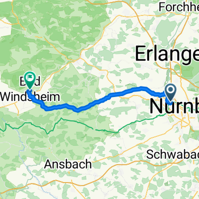 Fürth Hbf - Bad Windsheim Martin-Luther-Platz
- Distance
- 54.1 km
- Ascent
- 336 m
- Descent
- 304 m
- Location
- Fürth, Bavaria, Germany
 Bremer Straße, Fürth nach Marktplatz, Neustadt an der Aisch
- Distance
- 37.2 km
- Ascent
- 319 m
- Descent
- 317 m
- Location
- Fürth, Bavaria, Germany
 Fürth-Puschendorf-Obermichelbach
- Distance
- 76 km
- Ascent
- 429 m
- Descent
- 428 m
- Location
- Fürth, Bavaria, Germany
Open it in the app