

Fürth-Puschendorf-Obermichelbach
A cycling route starting in Fürth, Bavaria, Germany.
Overview
About this route
Fürth-Obermichelbach-Puschendorf-Fembachtal-Siedelbach-Wilhermsdorf-Meiersberg-Kreben-Hirschneuses-Neudorf-Seubersdorf-Großhabersdorf-Hornsegen-Cadolzburg-Wachendorf-Fürth
- -:--
- Duration
- 76 km
- Distance
- 429 m
- Ascent
- 428 m
- Descent
- ---
- Avg. speed
- ---
- Avg. speed
Route quality
Waytypes & surfaces along the route
Waytypes
Road
32 km
(42 %)
Quiet road
28.8 km
(38 %)
Surfaces
Paved
60.1 km
(79 %)
Unpaved
0.5 km
(<1 %)
Asphalt
58.8 km
(77 %)
Paved (undefined)
1 km
(1 %)
Continue with Bikemap
Use, edit, or download this cycling route
You would like to ride Fürth-Puschendorf-Obermichelbach or customize it for your own trip? Here is what you can do with this Bikemap route:
Free features
- Save this route as favorite or in collections
- Copy & plan your own version of this route
- Sync your route with Garmin or Wahoo
Premium features
Free trial for 3 days, or one-time payment. More about Bikemap Premium.
- Navigate this route on iOS & Android
- Export a GPX / KML file of this route
- Create your custom printout (try it for free)
- Download this route for offline navigation
Discover more Premium features.
Get Bikemap PremiumFrom our community
Other popular routes starting in Fürth
 Kurze Radtour zum Kanal
- Distance
- 11.3 km
- Ascent
- 87 m
- Descent
- 87 m
- Location
- Fürth, Bavaria, Germany
 Fürth-Puschendorf-Obermichelbach
- Distance
- 76 km
- Ascent
- 429 m
- Descent
- 428 m
- Location
- Fürth, Bavaria, Germany
 Bremer Straße, Fürth nach Marktplatz, Neustadt an der Aisch
- Distance
- 37.2 km
- Ascent
- 319 m
- Descent
- 317 m
- Location
- Fürth, Bavaria, Germany
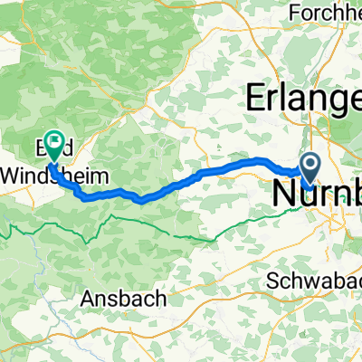 Fürth Hbf - Bad Windsheim Martin-Luther-Platz
- Distance
- 54.1 km
- Ascent
- 336 m
- Descent
- 304 m
- Location
- Fürth, Bavaria, Germany
 Fürth-Nürnberg-Moritzberg-Fürth
- Distance
- 77.6 km
- Ascent
- 727 m
- Descent
- 714 m
- Location
- Fürth, Bavaria, Germany
 Bund Naturschutzgarten - Stadelner Wasserrad und zurück
- Distance
- 11.1 km
- Ascent
- 44 m
- Descent
- 42 m
- Location
- Fürth, Bavaria, Germany
 Cadolzburg-Veitsbronn-Tour
- Distance
- 39.1 km
- Ascent
- 235 m
- Descent
- 235 m
- Location
- Fürth, Bavaria, Germany
 Von Fürth bis Kreuztal
- Distance
- 401.4 km
- Ascent
- 3,361 m
- Descent
- 3,439 m
- Location
- Fürth, Bavaria, Germany
Open it in the app