Sudetenstraße, Duisburg nach Sudetenstraße, Duisburg
- 31.1 km
- 89 m
- 89 m
- Hochfeld, North Rhine-Westphalia, Germany
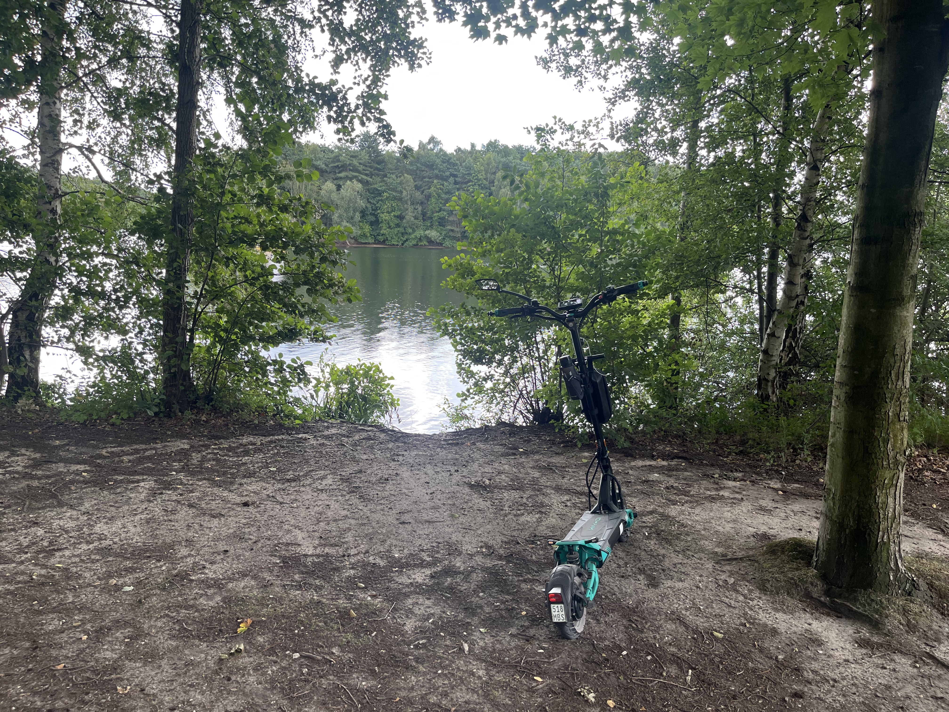
Mostly a low-traffic route! Nice as an after-work ride. At both lakes, there's a café/bistro to stop at. In 'good' weather, you can watch the rowers training. You can also take a detour to the glider airfield.
Quiet road
13.1 km47 %Path
10.1 km36 %Paved
7.5 km(27 %)Unpaved
7 km(25 %)Asphalt
7.3 km26 %Loose gravel
3.9 km14 %Wasserski Anlage, Cafe/Bistro
Cafe/Bistro zum ausruhen
Segelflugplatz. Mit einem kleinen Imbiss
Free trial for 3 days, or one-time payment. More about Bikemap Premium.
Discover more Premium features.
Get Bikemap PremiumOpen it in the app