

OBERDIESSBACH - BIGLEN RETOUR
A cycling route starting in Oberdiessbach, Canton of Bern, Switzerland.
Overview
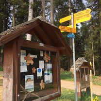
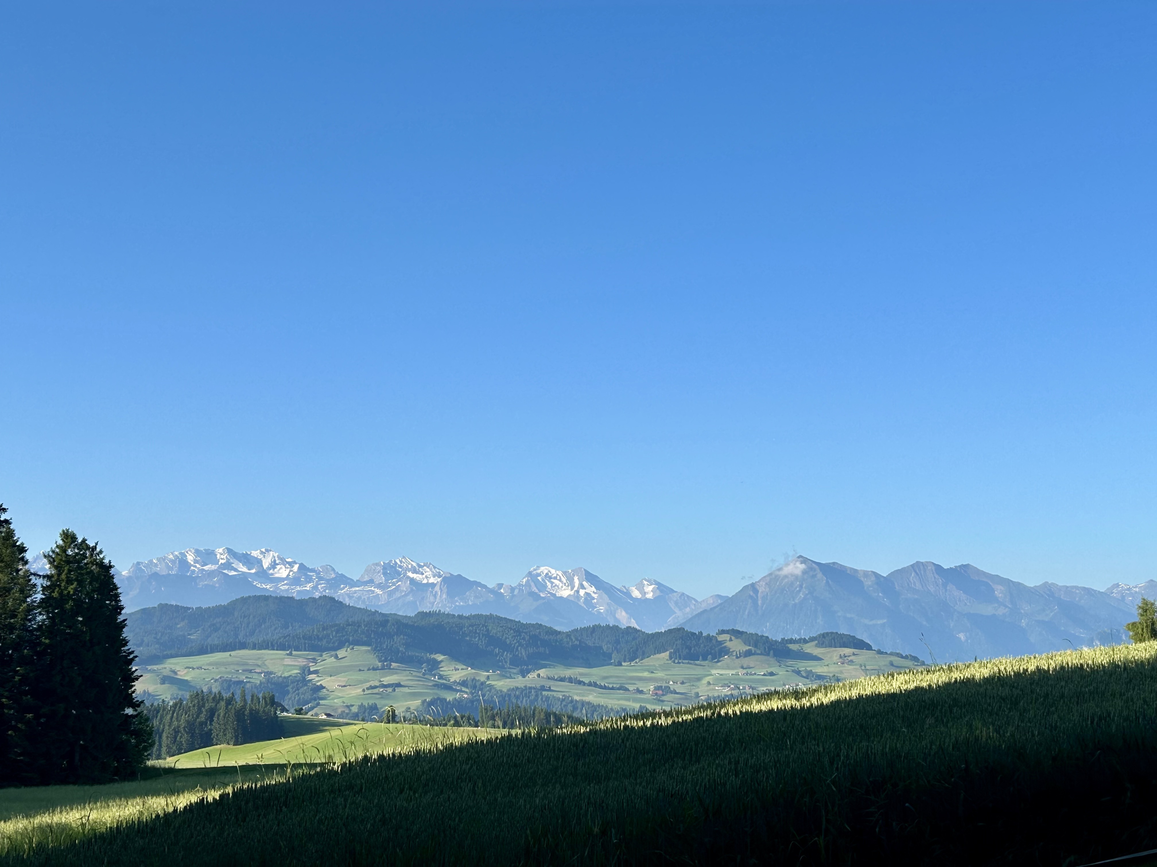
About this route
TAHUNA track
- -:--
- Duration
- 27.8 km
- Distance
- 394 m
- Ascent
- 393 m
- Descent
- ---
- Avg. speed
- ---
- Max. altitude

Route quality
Waytypes & surfaces along the route
Waytypes
Quiet road
18.8 km
(68 %)
Road
4.1 km
(15 %)
Surfaces
Paved
14.2 km
(51 %)
Unpaved
0.6 km
(2 %)
Asphalt
13.3 km
(48 %)
Paved (undefined)
0.9 km
(3 %)
Continue with Bikemap
Use, edit, or download this cycling route
You would like to ride OBERDIESSBACH - BIGLEN RETOUR or customize it for your own trip? Here is what you can do with this Bikemap route:
Free features
- Save this route as favorite or in collections
- Copy & plan your own version of this route
- Sync your route with Garmin or Wahoo
Premium features
Free trial for 3 days, or one-time payment. More about Bikemap Premium.
- Navigate this route on iOS & Android
- Export a GPX / KML file of this route
- Create your custom printout (try it for free)
- Download this route for offline navigation
Discover more Premium features.
Get Bikemap PremiumFrom our community
Other popular routes starting in Oberdiessbach
 SEEUMRUNDUNG
- Distance
- 68.7 km
- Ascent
- 325 m
- Descent
- 312 m
- Location
- Oberdiessbach, Canton of Bern, Switzerland
 Wrach-Häutligen-Stalden-Aebersold-Ringgis-Chuderhüsi-Bowil-Diessbach-Wrach, 43km, 1300hm
- Distance
- 35.4 km
- Ascent
- 893 m
- Descent
- 1,080 m
- Location
- Oberdiessbach, Canton of Bern, Switzerland
 Randonée Chuderhüsi
- Distance
- 15.9 km
- Ascent
- 668 m
- Descent
- 550 m
- Location
- Oberdiessbach, Canton of Bern, Switzerland
 Evti besuchen
- Distance
- 978.6 km
- Ascent
- 155 m
- Descent
- 793 m
- Location
- Oberdiessbach, Canton of Bern, Switzerland
 Oberdiessbach - Iffigenalp
- Distance
- 79 km
- Ascent
- 1,138 m
- Descent
- 181 m
- Location
- Oberdiessbach, Canton of Bern, Switzerland
 Sonnenstrasse, Oberdiessbach nach Sonnenstrasse, Oberdiessbach
- Distance
- 18.4 km
- Ascent
- 788 m
- Descent
- 784 m
- Location
- Oberdiessbach, Canton of Bern, Switzerland
 Oberdiessbach, Röthenbach, Signau, Konolfingen,Oberdiessbach
- Distance
- 46.4 km
- Ascent
- 380 m
- Descent
- 440 m
- Location
- Oberdiessbach, Canton of Bern, Switzerland
 Oberdiessbach - Montagny
- Distance
- 241.3 km
- Ascent
- 876 m
- Descent
- 1,346 m
- Location
- Oberdiessbach, Canton of Bern, Switzerland
Open it in the app