

🚴♀️E*Bike🇦🇹 20.06.17.- 2.Tag Kamptalradweg Altpölla-Straß
A cycling route starting in Röhrenbach, Lower Austria, Austria.
Overview
About this route
Directions: Cycling tour approx. 45 km
Altpölla - Altenburg - Rosenburg - Stallegg - Kamegg - Gars am Kamp () - Schönberg - Zöbing - Kammern - Schönberg - Langenlois - Hadersdorf - Etsdorf -Straß in the Straßertal to Hotel Strasser Hof. 48.472617, 15.735670
From the bike path to Rosenburg Castle about 2 km Coordinates 48.627133, 15.632724
Cafe & Bakery in Gars 48.596236, 15.658742
Buchberg Castle 48.576145, 15.655221
Café-Pâtisserie in Hadersdorf 48.457152, 15.721111
Winery DOLLE 48.472952, 15.731444
Strasser Hof Country Hotel 48.472818, 15.735536
- -:--
- Duration
- 54.6 km
- Distance
- 163 m
- Ascent
- 408 m
- Descent
- ---
- Avg. speed
- ---
- Max. altitude

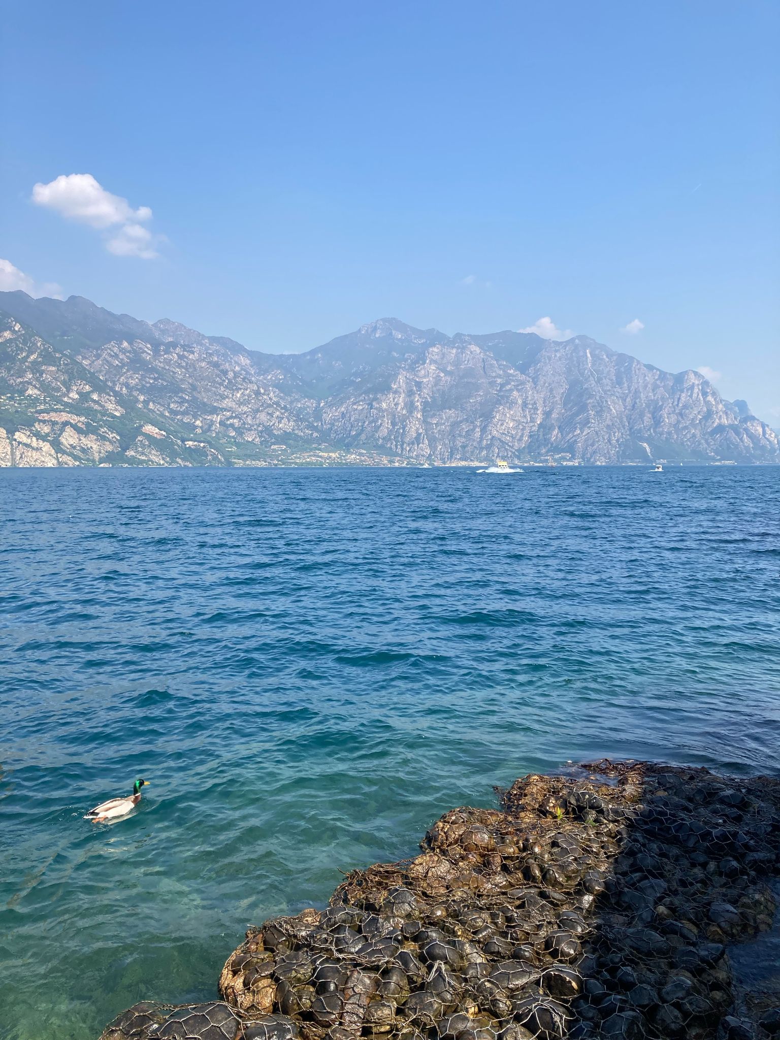
Route photos


Route quality
Waytypes & surfaces along the route
Waytypes
Road
20.2 km
(37 %)
Quiet road
12 km
(22 %)
Surfaces
Paved
35.5 km
(65 %)
Unpaved
5.5 km
(10 %)
Asphalt
34.4 km
(63 %)
Gravel
5.5 km
(10 %)
Route highlights
Points of interest along the route

Photo after 14.4 km
Stift Altenburg

Photo after 18.9 km
Schloss Rosenburg am Kamp Koordinaten 48.627133, 15.632724

Accommodation after 24.3 km
Bächerei Ehrenberger Dreifaltigkeitsplatz 55, 3571 Gars 48.596236, 15.658742

Photo after 27.4 km
Buchberghöhle

Photo after 27.4 km
Schloss Buchberg 48.576145, 15.655221
Point of interest after 45.8 km
Bäckerei Schalk

Point of interest after 54.5 km
Weingut Dolle Koordinaten 48.472952, 15.731444

Accommodation after 54.6 km
Landhotel Strasser Hof 48.472818, 15.735536
Continue with Bikemap
Use, edit, or download this cycling route
You would like to ride 🚴♀️E*Bike🇦🇹 20.06.17.- 2.Tag Kamptalradweg Altpölla-Straß or customize it for your own trip? Here is what you can do with this Bikemap route:
Free features
- Save this route as favorite or in collections
- Copy & plan your own version of this route
- Sync your route with Garmin or Wahoo
Premium features
Free trial for 3 days, or one-time payment. More about Bikemap Premium.
- Navigate this route on iOS & Android
- Export a GPX / KML file of this route
- Create your custom printout (try it for free)
- Download this route for offline navigation
Discover more Premium features.
Get Bikemap PremiumFrom our community
Other popular routes starting in Röhrenbach
 Tautendorf bei Röhrenbach 23 nach Tautendorf bei Röhrenbach 23
- Distance
- 22.7 km
- Ascent
- 407 m
- Descent
- 459 m
- Location
- Röhrenbach, Lower Austria, Austria
 Tautendorf bei Röhrenbach nach Tautendorf bei Röhrenbach
- Distance
- 31.8 km
- Ascent
- 356 m
- Descent
- 407 m
- Location
- Röhrenbach, Lower Austria, Austria
 Tagesrunde Pölla
- Distance
- 38.6 km
- Ascent
- 408 m
- Descent
- 412 m
- Location
- Röhrenbach, Lower Austria, Austria
 1 nap Ramsautól
- Distance
- 66.3 km
- Ascent
- 659 m
- Descent
- 532 m
- Location
- Röhrenbach, Lower Austria, Austria
 3Tages Tour Waldviertel
- Distance
- 195.6 km
- Ascent
- 2,727 m
- Descent
- 2,720 m
- Location
- Röhrenbach, Lower Austria, Austria
 ramsau
- Distance
- 13.3 km
- Ascent
- 148 m
- Descent
- 125 m
- Location
- Röhrenbach, Lower Austria, Austria
 Volt-Runde Pölla
- Distance
- 38.1 km
- Ascent
- 423 m
- Descent
- 407 m
- Location
- Röhrenbach, Lower Austria, Austria
 🚴♀️E*Bike🇦🇹 20.06.17.- 2.Tag Kamptalradweg Altpölla-Straß
- Distance
- 54.6 km
- Ascent
- 163 m
- Descent
- 408 m
- Location
- Röhrenbach, Lower Austria, Austria
Open it in the app