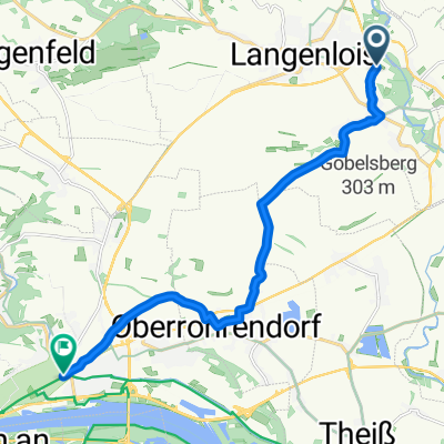
🚴♀️E*Bike🇦🇹21.06.17.- 3.Tag Wagram Tour Straß -Tulln
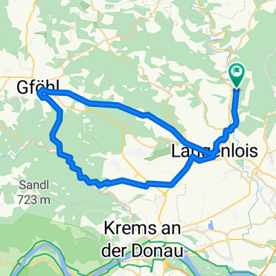
A cycling route starting in Langenlois, Lower Austria, Austria.
Overview
About this route
- -:--
- Duration
- 47 km
- Distance
- 106 m
- Ascent
- 149 m
- Descent
- ---
- Avg. speed
- ---
- Max. altitude
Route photos
Route quality
Waytypes & surfaces along the route
Waytypes
Quiet road
23 km
(49 %)
Road
10.8 km
(23 %)
Surfaces
Paved
34.3 km
(73 %)
Unpaved
1.9 km
(4 %)
Asphalt
30.6 km
(65 %)
Paved (undefined)
3.3 km
(7 %)
Route highlights
Points of interest along the route
Photo after 6.5 km
Schloss Grafenegg 48.428751, 15.746251
Accommodation after 46.1 km
Adlerbäu Koordinaten 48.330967, 16.053200
Point of interest after 47 km
Parkplatz Messegelände Mühlwiese 2, 3430 Tulln an der Donau Koordinaten 48.327713, 16.042490
Continue with Bikemap
Use, edit, or download this cycling route
You would like to ride 🚴♀️E*Bike🇦🇹21.06.17.- 3.Tag Wagram Tour Straß -Tulln or customize it for your own trip? Here is what you can do with this Bikemap route:
Free features
- Save this route as favorite or in collections
- Copy & plan your own version of this route
- Sync your route with Garmin or Wahoo
Premium features
Free trial for 3 days, or one-time payment. More about Bikemap Premium.
- Navigate this route on iOS & Android
- Export a GPX / KML file of this route
- Create your custom printout (try it for free)
- Download this route for offline navigation
Discover more Premium features.
Get Bikemap PremiumFrom our community
Other popular routes starting in Langenlois
- Gföhler_Runde
- Distance
- 71.2 km
- Ascent
- 457 m
- Descent
- 457 m
- Location
- Langenlois, Lower Austria, Austria
- Kamptal- und Manhartsberg Radweg
- Distance
- 62.9 km
- Ascent
- 730 m
- Descent
- 728 m
- Location
- Langenlois, Lower Austria, Austria
- Stage 3: Strandbad to Schön
- Distance
- 6.3 km
- Ascent
- 54 m
- Descent
- 39 m
- Location
- Langenlois, Lower Austria, Austria
- Tour de Vin 2015
- Distance
- 60.4 km
- Ascent
- 420 m
- Descent
- 421 m
- Location
- Langenlois, Lower Austria, Austria
- Straß - Jauerling _1
- Distance
- 123.7 km
- Ascent
- 1,273 m
- Descent
- 1,273 m
- Location
- Langenlois, Lower Austria, Austria
- Weinbergstrecke Langenlois
- Distance
- 22 km
- Ascent
- 478 m
- Descent
- 477 m
- Location
- Langenlois, Lower Austria, Austria
- Loisium-Allee 2, Langenlois to Langenlois Siedlung Lange Sonne
- Distance
- 74.1 km
- Ascent
- 1,691 m
- Descent
- 1,691 m
- Location
- Langenlois, Lower Austria, Austria
- Stage 5: Schönberg to Eggenburg
- Distance
- 28 km
- Ascent
- 476 m
- Descent
- 380 m
- Location
- Langenlois, Lower Austria, Austria
Open it in the app