Quai du General de Gaulle nach Route de Grenoble
- 90.9 km
- 1,070 m
- 1,065 m
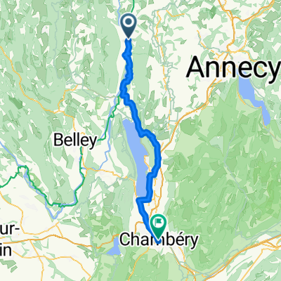
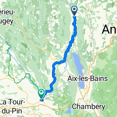
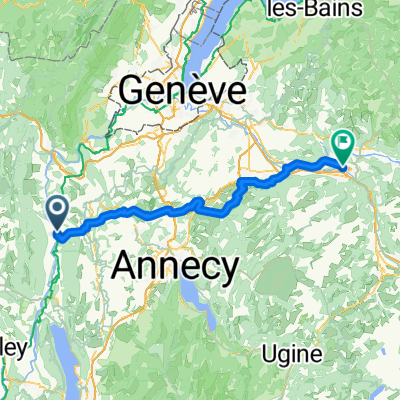
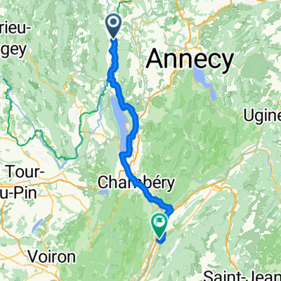
- Versonnex, Auvergne-Rhône-Alpes, France
A cycling route starting in Versonnex, Auvergne-Rhône-Alpes, France.
Overview
Following the 2017 Tour de France route. 1st time climbing Biche, and 1st time up the steepest side of Grand Colombier.
created this 8 years ago
Route highlights
Golet de la Biche
Col du Grand Colombier
avalanche
Les Lacets du Grand Colombier
Continue with Bikemap
You would like to ride Col de la Biche and Grand Colombier (the steep way) or customize it for your own trip? Here is what you can do with this Bikemap route:
Free trial for 3 days, or one-time payment. More about Bikemap Premium.
Discover more Premium features.
Get Bikemap PremiumFrom our community
Open it in the app