

ZACHODNIM ŚLADEM MRDP - 2 DZIEŃ
A cycling route starting in Wałbrzych, Lower Silesian Voivodeship, Poland.
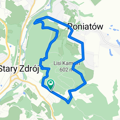
Overview
About this route
Góry Kamienne, Karkonosze, Góry Izerskie
- -:--
- Duration
- 177.2 km
- Distance
- 1,882 m
- Ascent
- 2,092 m
- Descent
- ---
- Avg. speed
- ---
- Max. altitude

Route quality
Waytypes & surfaces along the route
Waytypes
Road
49.6 km
(28 %)
Track
26.6 km
(15 %)
Surfaces
Paved
129.4 km
(73 %)
Unpaved
10.6 km
(6 %)
Asphalt
125.8 km
(71 %)
Gravel
5.3 km
(3 %)
Continue with Bikemap
Use, edit, or download this cycling route
You would like to ride ZACHODNIM ŚLADEM MRDP - 2 DZIEŃ or customize it for your own trip? Here is what you can do with this Bikemap route:
Free features
- Save this route as favorite or in collections
- Copy & plan your own version of this route
- Split it into stages to create a multi-day tour
- Sync your route with Garmin or Wahoo
Premium features
Free trial for 3 days, or one-time payment. More about Bikemap Premium.
- Navigate this route on iOS & Android
- Export a GPX / KML file of this route
- Create your custom printout (try it for free)
- Download this route for offline navigation
Discover more Premium features.
Get Bikemap PremiumFrom our community
Other popular routes starting in Wałbrzych
 Wałbrzych - Międzylesie przez Czechy rowerem
- Distance
- 383.4 km
- Ascent
- 4,701 m
- Descent
- 4,645 m
- Location
- Wałbrzych, Lower Silesian Voivodeship, Poland
 Wch-ZalewM-Wch
- Distance
- 100.8 km
- Ascent
- 473 m
- Descent
- 475 m
- Location
- Wałbrzych, Lower Silesian Voivodeship, Poland
 Wałbrzych, Trasa wokół Niedźwiadków
- Distance
- 8.3 km
- Ascent
- 343 m
- Descent
- 330 m
- Location
- Wałbrzych, Lower Silesian Voivodeship, Poland
 2017.03.04 WRW - Wałbrzych do Wałbrzych
- Distance
- 134.3 km
- Ascent
- 1,299 m
- Descent
- 1,299 m
- Location
- Wałbrzych, Lower Silesian Voivodeship, Poland
 Borowa
- Distance
- 21.9 km
- Ascent
- 500 m
- Descent
- 500 m
- Location
- Wałbrzych, Lower Silesian Voivodeship, Poland
 Wałbrzych - Wielka Sowa
- Distance
- 32.8 km
- Ascent
- 1,073 m
- Descent
- 494 m
- Location
- Wałbrzych, Lower Silesian Voivodeship, Poland
 Wałbrzych - Unisław - Jedlina Zdrój
- Distance
- 30.9 km
- Ascent
- 500 m
- Descent
- 498 m
- Location
- Wałbrzych, Lower Silesian Voivodeship, Poland
 Wałbrzych, Trasa wokół Ptasiej Kopy
- Distance
- 7.9 km
- Ascent
- 295 m
- Descent
- 300 m
- Location
- Wałbrzych, Lower Silesian Voivodeship, Poland
Open it in the app