

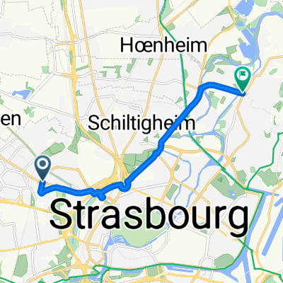
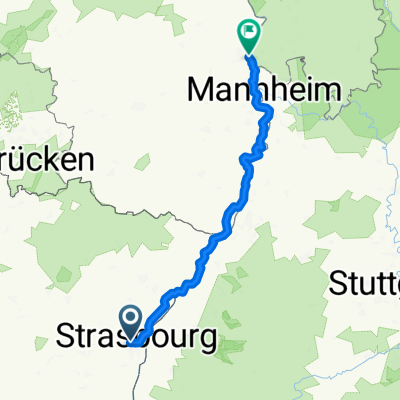
20151020_180848.gpx
A cycling route starting in Strasbourg, Grand Est, France.
Overview
About this route
TAHUNA track
- -:--
- Duration
- 6.8 km
- Distance
- 54 m
- Ascent
- 66 m
- Descent
- ---
- Avg. speed
- ---
- Max. altitude

Route quality
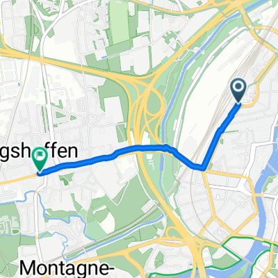
Waytypes & surfaces along the route
Waytypes
Cycleway
2.4 km
(36 %)
Pedestrian area
2 km
(29 %)
Surfaces
Paved
5.8 km
(86 %)
Unpaved
0.3 km
(4 %)
Asphalt
5.4 km
(79 %)
Concrete
0.4 km
(6 %)
Continue with Bikemap
Use, edit, or download this cycling route
You would like to ride 20151020_180848.gpx or customize it for your own trip? Here is what you can do with this Bikemap route:
Free features
- Save this route as favorite or in collections
- Copy & plan your own version of this route
- Sync your route with Garmin or Wahoo
Premium features
Free trial for 3 days, or one-time payment. More about Bikemap Premium.
- Navigate this route on iOS & Android
- Export a GPX / KML file of this route
- Create your custom printout (try it for free)
- Download this route for offline navigation
Discover more Premium features.
Get Bikemap PremiumFrom our community
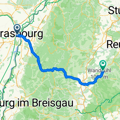
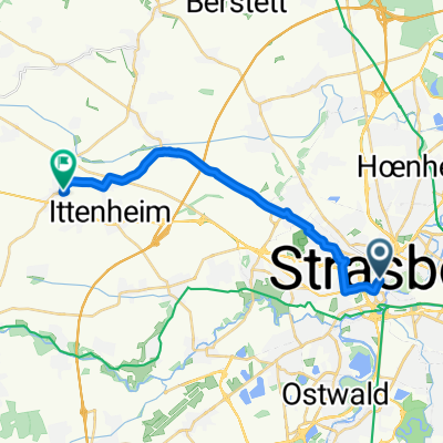
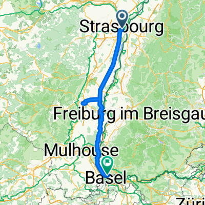
Other popular routes starting in Strasbourg
 Itinéraire à Strasbourg
- Distance
- 7.4 km
- Ascent
- 14 m
- Descent
- 22 m
- Location
- Strasbourg, Grand Est, France
 Nach balingen
- Distance
- 135.1 km
- Ascent
- 2,054 m
- Descent
- 1,676 m
- Location
- Strasbourg, Grand Est, France
 2010, Tag 2,dunkelschwarz, Strasbourg-Mulhouse
- Distance
- 185.5 km
- Ascent
- 835 m
- Descent
- 734 m
- Location
- Strasbourg, Grand Est, France
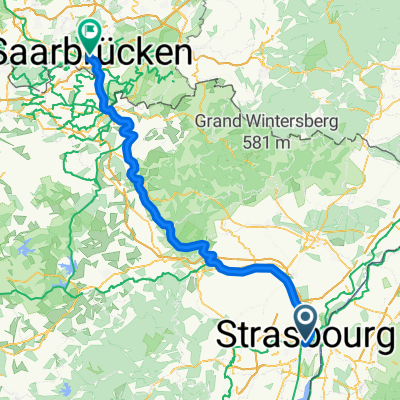 Route de l'Hôpital, Straßburg nach Rathausplatz, Saarbrücken
- Distance
- 128 km
- Ascent
- 1,297 m
- Descent
- 1,239 m
- Location
- Strasbourg, Grand Est, France
 ALSACE - Stras to Furd
- Distance
- 17.1 km
- Ascent
- 78 m
- Descent
- 46 m
- Location
- Strasbourg, Grand Est, France
 Strasbourg - Worms
- Distance
- 179.2 km
- Ascent
- 459 m
- Descent
- 505 m
- Location
- Strasbourg, Grand Est, France
 Quartier de la Gare, Straßburg nach Route des Romains, Straßburg
- Distance
- 2.3 km
- Ascent
- 11 m
- Descent
- 8 m
- Location
- Strasbourg, Grand Est, France
 alsacee
- Distance
- 161.1 km
- Ascent
- 208 m
- Descent
- 96 m
- Location
- Strasbourg, Grand Est, France
Open it in the app