Mundaring-Chidlow Loop
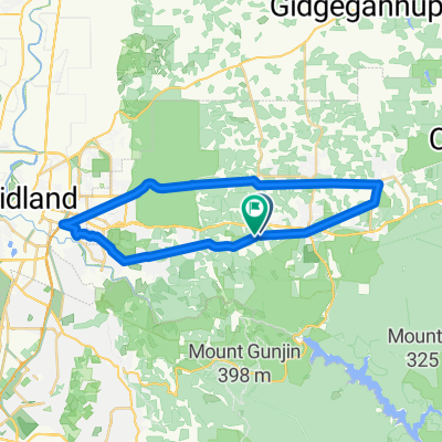
A cycling route starting in Mundaring, Western Australia, Australia.
Overview
About this route
- -:--
- Duration
- 59.2 km
- Distance
- 608 m
- Ascent
- 592 m
- Descent
- ---
- Avg. speed
- ---
- Max. altitude
Route quality
Waytypes & surfaces along the route
Waytypes
Quiet road
15.4 km
(26 %)
Road
13.6 km
(23 %)
Surfaces
Paved
36.1 km
(61 %)
Unpaved
11.2 km
(19 %)
Asphalt
29 km
(49 %)
Gravel
11.2 km
(19 %)
Continue with Bikemap
Use, edit, or download this cycling route
You would like to ride Mundaring-Chidlow Loop or customize it for your own trip? Here is what you can do with this Bikemap route:
Free features
- Save this route as favorite or in collections
- Copy & plan your own version of this route
- Sync your route with Garmin or Wahoo
Premium features
Free trial for 3 days, or one-time payment. More about Bikemap Premium.
- Navigate this route on iOS & Android
- Export a GPX / KML file of this route
- Create your custom printout (try it for free)
- Download this route for offline navigation
Discover more Premium features.
Get Bikemap PremiumFrom our community
Other popular routes starting in Mundaring
Long bike tour through Mundaring- Distance
- 72 km
- Ascent
- 527 m
- Descent
- 527 m
- Location
- Mundaring, Western Australia, Australia
From Mundaring to Jarrahdale- Distance
- 74.8 km
- Ascent
- 1,240 m
- Descent
- 1,307 m
- Location
- Mundaring, Western Australia, Australia
Route through the hills pt 2- Distance
- 62.3 km
- Ascent
- 1,170 m
- Descent
- 1,171 m
- Location
- Mundaring, Western Australia, Australia
Jacoby Street, Mundaring to Jacoby Street, Mundaring Start, clockwise loop of Heritage Trail.- Distance
- 72.7 km
- Ascent
- 734 m
- Descent
- 736 m
- Location
- Mundaring, Western Australia, Australia
crown hike mundaring south- Distance
- 15.6 km
- Ascent
- 235 m
- Descent
- 236 m
- Location
- Mundaring, Western Australia, Australia
Mundaring-Chidlow Loop- Distance
- 59.2 km
- Ascent
- 608 m
- Descent
- 592 m
- Location
- Mundaring, Western Australia, Australia
Mundaring Hotel - Gunjin- Distance
- 23.8 km
- Ascent
- 472 m
- Descent
- 472 m
- Location
- Mundaring, Western Australia, Australia
Jacoby Street, Mundaring to Jacoby Street, Mundaring- Distance
- 16.6 km
- Ascent
- 345 m
- Descent
- 346 m
- Location
- Mundaring, Western Australia, Australia
Open it in the app


