Dillstädt-Skihang Schmiedefeld-Schneekopf-Gehlberger Grund-Schneekopf-Mönchshof-Dillstädt (Teil 5)
- 25.3 km
- 286 m
- 725 m
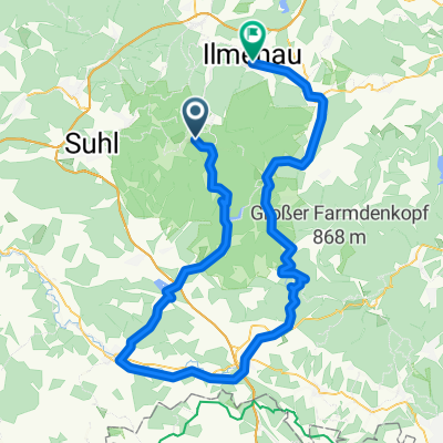
- Schmiedefeld am Rennsteig, Thuringia, Germany
A cycling route starting in Schmiedefeld am Rennsteig, Thuringia, Germany.
Overview
2017-05-14
Bhf Rennsteig - Allzunah - Schönbrunn - Geißübel - Masserberg - Neustadt - Hohe Tanne - Gehren -Ilmenau
created this 8 years ago
Route quality
Track
22.9 km
(40 %)
Path
6.9 km
(12 %)
Paved
33.1 km
(58 %)
Unpaved
21.7 km
(38 %)
Asphalt
32.6 km
(57 %)
Gravel
19.4 km
(34 %)
Continue with Bikemap
You would like to ride 2017-05-07: Uwe's MTB Tour or customize it for your own trip? Here is what you can do with this Bikemap route:
Free trial for 3 days, or one-time payment. More about Bikemap Premium.
Discover more Premium features.
Get Bikemap PremiumFrom our community
Open it in the app