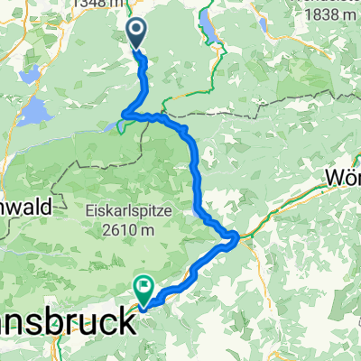
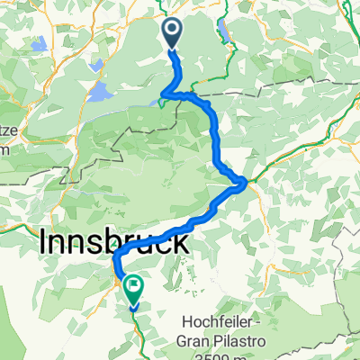
Lenggries - Eng/Risstal
A cycling route starting in Lenggries, Bavaria, Germany.
Overview
About this route
- -:--
- Duration
- 49.1 km
- Distance
- 628 m
- Ascent
- 100 m
- Descent
- ---
- Avg. speed
- ---
- Avg. speed
Route quality
Waytypes & surfaces along the route
Waytypes
Road
24.4 km
(50 %)
Busy road
13.5 km
(28 %)
Surfaces
Paved
48.8 km
(99 %)
Unpaved
0 km
(<1 %)
Asphalt
48.4 km
(99 %)
Paved (undefined)
0.3 km
(<1 %)
Route highlights
Points of interest along the route
Point of interest after 28.7 km
Oswaldhütte Gastronomie
Continue with Bikemap
Use, edit, or download this cycling route
You would like to ride Lenggries - Eng/Risstal or customize it for your own trip? Here is what you can do with this Bikemap route:
Free features
- Save this route as favorite or in collections
- Copy & plan your own version of this route
- Sync your route with Garmin or Wahoo
Premium features
Free trial for 3 days, or one-time payment. More about Bikemap Premium.
- Navigate this route on iOS & Android
- Export a GPX / KML file of this route
- Create your custom printout (try it for free)
- Download this route for offline navigation
Discover more Premium features.
Get Bikemap PremiumFrom our community
Other popular routes starting in Lenggries
- leichter Downhill von der Lenggrieser Hütte zum Spitzingsee (Albert Link Hütte)
- Distance
- 36.5 km
- Ascent
- 588 m
- Descent
- 892 m
- Location
- Lenggries, Bavaria, Germany
- Sonntraten
- Distance
- 4.4 km
- Ascent
- 362 m
- Descent
- 344 m
- Location
- Lenggries, Bavaria, Germany
- leichte Sylvensteinrunde
- Distance
- 122.2 km
- Ascent
- 1,474 m
- Descent
- 1,433 m
- Location
- Lenggries, Bavaria, Germany
- Obergries - Aueralm - Obergries
- Distance
- 40.5 km
- Ascent
- 877 m
- Descent
- 875 m
- Location
- Lenggries, Bavaria, Germany
- RW 43km Fleck - Puppling
- Distance
- 43.2 km
- Ascent
- 225 m
- Descent
- 336 m
- Location
- Lenggries, Bavaria, Germany
- Lenggries - Lenggrieser Hütte
- Distance
- 12.1 km
- Ascent
- 762 m
- Descent
- 99 m
- Location
- Lenggries, Bavaria, Germany
- Lenggries - Seekarkreuz -Schwarze Tenn - Glashütte - Lenggries
- Distance
- 36 km
- Ascent
- 1,180 m
- Descent
- 1,180 m
- Location
- Lenggries, Bavaria, Germany
- Tour 27 Wild Wild West
- Distance
- 46.9 km
- Ascent
- 1,191 m
- Descent
- 1,191 m
- Location
- Lenggries, Bavaria, Germany
Open it in the app