

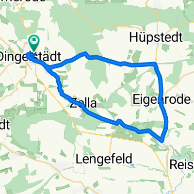
Runde zur Burg Hanstein
A cycling route starting in Dingelstädt, Thuringia, Germany.
Overview
About this route
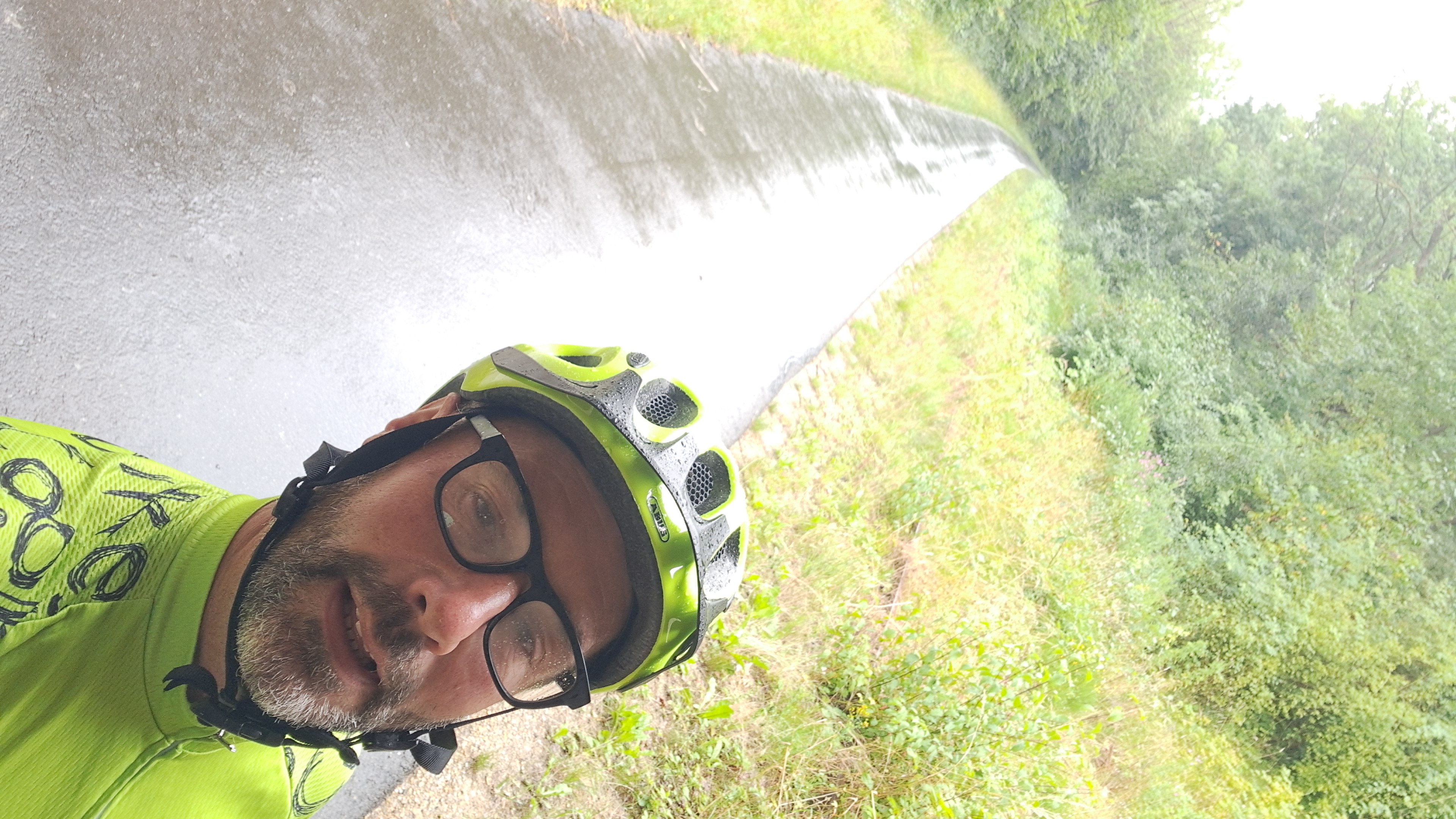
Sehr schwere Runde zur Burg Hanstein (hier ein taumhafter Blick ins Werratal) mit steilen Anstiegen, z.B. Dieteröder Klippen und Klüschen Hagis mit 18 % zum Schluss der Runde.
- -:--
- Duration
- 79.2 km
- Distance
- 1,037 m
- Ascent
- 997 m
- Descent
- ---
- Avg. speed
- 511 m
- Max. altitude

Route quality
Waytypes & surfaces along the route
Waytypes
Busy road
59 km
(75 %)
Road
7.3 km
(9 %)
Surfaces
Paved
39.6 km
(50 %)
Unpaved
1.6 km
(2 %)
Asphalt
38 km
(48 %)
Paving stones
1.6 km
(2 %)
Continue with Bikemap
Use, edit, or download this cycling route
You would like to ride Runde zur Burg Hanstein or customize it for your own trip? Here is what you can do with this Bikemap route:
Free features
- Save this route as favorite or in collections
- Copy & plan your own version of this route
- Sync your route with Garmin or Wahoo
Premium features
Free trial for 3 days, or one-time payment. More about Bikemap Premium.
- Navigate this route on iOS & Android
- Export a GPX / KML file of this route
- Create your custom printout (try it for free)
- Download this route for offline navigation
Discover more Premium features.
Get Bikemap PremiumFrom our community
Other popular routes starting in Dingelstädt
 Unstrutradweg
- Distance
- 146.6 km
- Ascent
- 110 m
- Descent
- 358 m
- Location
- Dingelstädt, Thuringia, Germany
 27.07 25 kleine mittags runde
- Distance
- 18.2 km
- Ascent
- 185 m
- Descent
- 225 m
- Location
- Dingelstädt, Thuringia, Germany
 Kanonenbahnradweg
- Distance
- 42.1 km
- Ascent
- 418 m
- Descent
- 419 m
- Location
- Dingelstädt, Thuringia, Germany
 Dingelstädt - Gleichenstein - Scharfenstein
- Distance
- 50.7 km
- Ascent
- 708 m
- Descent
- 708 m
- Location
- Dingelstädt, Thuringia, Germany
 Trainingsrunde 3
- Distance
- 26.9 km
- Ascent
- 315 m
- Descent
- 311 m
- Location
- Dingelstädt, Thuringia, Germany
 Unstrut-Werra-Runde
- Distance
- 88.2 km
- Ascent
- 596 m
- Descent
- 596 m
- Location
- Dingelstädt, Thuringia, Germany
 Dingelstädt - Bad Langensalza - Wiegleben
- Distance
- 52.8 km
- Ascent
- 259 m
- Descent
- 281 m
- Location
- Dingelstädt, Thuringia, Germany
 Strecke Südeichsfeld
- Distance
- 48.2 km
- Ascent
- 788 m
- Descent
- 700 m
- Location
- Dingelstädt, Thuringia, Germany
Open it in the app